Although it had rained overnight, the roads weren’t really that wet today. And it wasn’t too cold. It was most definitely windy, though.
Since I’m on call again today I didn’t want to venture too far from base. But I wanted to do 47.46 miles, because that would take me to 4,000 miles in 2019. I set off on the Boardman at 10:55, with the vague idea of going south for 10 miles or so, then turning to go up to Melbourne or Ticknall, then back home southward.
That’s not actually what I did, though. I took an indirect route to Bosworth, then from there to Shenton and Sutton Cheney, where I decided to go along Fenn Lanes all the way down and across to Fenny Drayton. From there I went north to Sibson, then Sheepy Magna and back up through Twycross – a sort of reverse Twycross, with an eastward bulge.
I’d picked up a few spots of rain but mostly, the sun was shining. And the wind only really bothered me when going west.
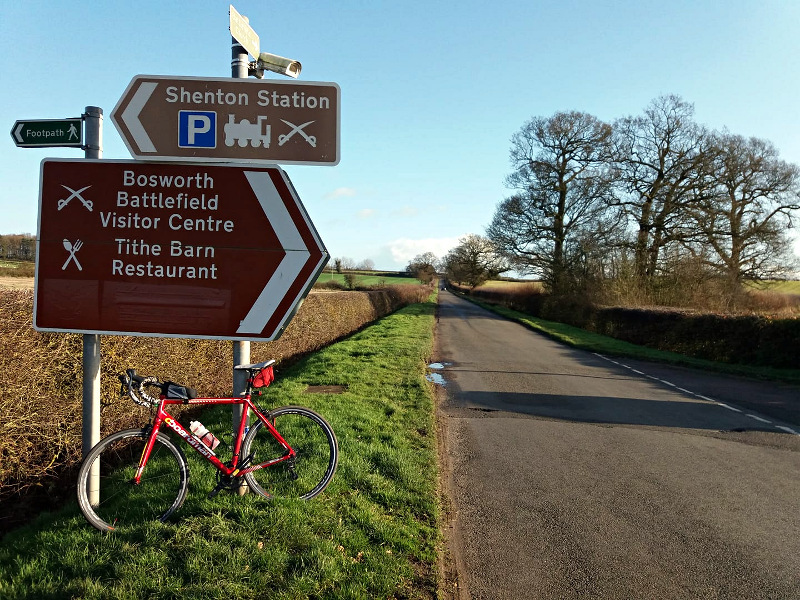
Took the following pic along Ambion Lane between Bosworth and Cheney. I don’t believe I’ve ever been along there before. Certainly I have no memory of passing the Battle of Bosworth visitor’s centre, as I did today. And yet it seems the obvious route from Shenton to Bosworth, and I’m sure I’ve been through Shenton to Bosworth before. Odd. Must have a look through my old tracks.

I went all the way up to Packington, thinking of making my way up to Melbourne from there. I thought I might even end up doing a Fondo. So I turned to pedal up through Coleorton, toward Melbourne. At that point the rain started to come down. It hadn’t been forecast for the afternoon. It didn’t last long to be fair but conditions had gone a bit gloomy by this time. And since it was cold and due to get dark before long, and since I was on call anyway, I decided to call it a day and came home again, through Newbold and back down through Coleorton.
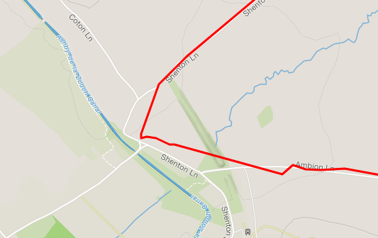
I used my Garmin Instinct to track the ride in ‘Ultratrac’ mode. This is a power-saving mode that records your position at a much lower frequency. I believe it interpolates points using the inbuilt compass. This sort of works – it does record a very rough version of the track, as you can see from this Strava screenshot:

.. but predictably, it does rob you of distance. I knew it was doing this when I reached my ‘2 miles from home’ landmark in Ibstock, and the watch claimed 1.8.
Initially after I uploaded the track, Strava alleged that I’d done 36.93. The Strava distance correction facility modified that to 41.35. In fact though the route planner tells me that I did 42.61 at a minimum, so that’s the figure that’s gone in the spreadsheet.
Ultratrac mode is not that useful to me, really. I might use it in an emergency or maybe to record a long car journey, just to work out the route I’d taken after the fact. But for a really long bike ride, if I ever do one again, I’d use my Foretrex which can be replenished with energy in the form of AAA batteries without interrupting a track.
Still a few miles short of 4000 then. 94 this month, 3995 this year. Would be nice to think there’ll be a dry, mild day for the December Fondo, but I won’t be too bothered if I don’t do that.
https://www.strava.com/activities/2919879353
Amusingly, Strava claims that my average speed for this ride was 18.8mph, and my maximum 43.8mph. I assume the Ultratrac recording method has messed with it somewhat.
I may go out again tomorrow on a long lunch break, the forecast says sunshine and 8 degrees C in the afternoon.
