Another day off work and, with a moderate breeze blowing from the
east, I thought a run out in that direction was appropriate. Decided to
do Eastwell and back.
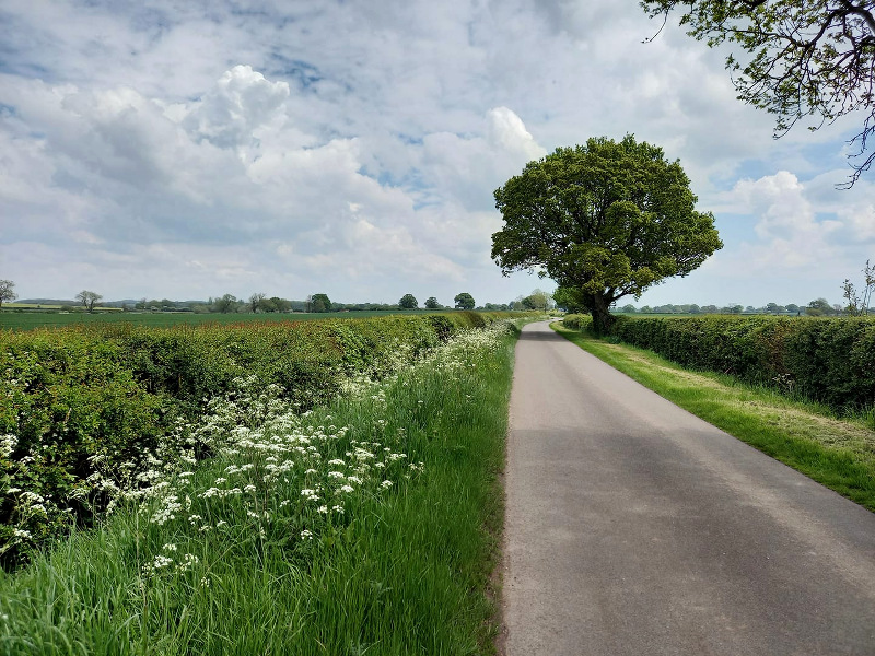
I modified the route by taking in some of the new stretch I’d discovered on Monday evening, by taking a left from Cotes to Hoton, instead of a right to Burton on the Wolds. As I pedalled along the road between Hoton and Wymeswold, I found myself ascending a shallow slope pretty much the whole way. No wonder I’d found it so charming coming in the other direction, but I hadn’t noticed that I was rolling downhill in the post-sunset gloom on Monday.
Quite
cloudy and overcast. I wore fairly light clothing, and was looking
forward to the temperatures climbing in the afternoon. Unfortunately the
BBC’s weather forecast turned out to be about as trustworthy as their
news and current affairs output, and it was actually colder after
midday.
Listened to 5 Live on the outward leg,
including their coverage of Prime Minister’s Questions. Unfortunately
the execrable Angela Rayner was deputising for Del Boy Starmer. It was
all a bit like listening to a girl from the third year taking part in
the sixth form debating society; really hackneyed class warfare
material. To his credit, the PM rebutted her gently, with humility,
grace and a bit of compassion. But it was getting embarrassing to listen
to after 15 minutes or so and I switched to my Jack Reacher audiobook.
Not much more realistic than Angela Rayner’s worldview, but at least
less predictable.
My Edge 130 ran out of juice with about 8 miles to go, so I used my phone to record the rest of the track and stitched them together when I got back. The Edge had done about 110 miles since its last recharge, not bad.
I didn’t really enjoy that. The headwind was too annoying on the way out and I was cold on the way back. But that’s another 63.92 miles in the bag, bringing the September tally to 364 so far – not bad for the first half of the month.
That was the 24th Fondo of the year. I’d set myself an informal target of 24 Fondos in 2020; an average of 2 per month.
Hot, sunny day yesterday. I spent the afternoon at a bar overlooking
Stoney Cove, an inland scuba diving site that was originally a granite
mine. Conditions were still quite warm at 4:40pm, when I set off on the
Cannondale on the eastbound route. I was determined to do at least 40
miles, which meant that I’d be cycling in the dark for some of the
return leg, so I took lights.
I’d done 23 miles before I decided
it was probably about time to turn back, not wanting to be too far from
home in the dark. The sun was still above the horizon at this point, but
would set in another 20-25 minutes. However I thought I’d go exploring
for a mile or two first, so I took a left turn to Old Dalby. I turned
back to the main route again about a mile later having done 25 miles
exactly.
Just after Six Hills on the way back I saw a road
signposted to Wymeswold, and decided to take that. The eastbound route
used to go through Wymeswold before being replaced with a more
interesting route through Stanford and Burton on the Wolds. But the
older route has road surfaces better suited to riding at night and I
reasoned that it might be better illuminated, albeit I’m not sure I was
right about that – so I decided to come back the old-fashioned way.
Nice quiet road to Wymeswold, I’ll definitely do that one again. Curiously, I hit a pocket of cold air a mile or so after the turn – very sudden, like pedalling out of a centrally heated house out into the cold. I’m aware that cool air can pool in dips in the terrain, but that didn’t seem to be the case here. Quite surprising, and a few minutes later I emerged from it just as suddenly. Very pleasant, like sinking into a warm bath.
When I got to the village though I didn’t find myself
at the usual main road, and I took a wrong turn, to a place called
Hoton. Again though this was a really pleasant, quiet road and one I
will reacquaint myself with some time soon.
At Hoton I broke out
Google Maps. Rempstone was a short run up the A60 away. I was there in
another six minutes or so, although I was putting my boot down a bit, as
the light was failing now. I enjoy riding after dark, but not so much
on unfamiliar roads.
Arrived at the familiar crossroads at
Rempstone along a different road than usual and took a left. Back on a
familiar old route. One of the reasons that route is deprecated now is
that the road back between Rempstone and Zouch can be a bit of a drag on
a long ride, especially in the dark. But last night in the warm air and
with a very light tailwind, it was a joy. I didn’t feel tired – I think
the large bowl of chips I’d eaten a few hours earlier had given me more
energy than I needed. At this point I still hadn’t put proper front
lights on, but the light western sky reflecting faintly off the road
gave me enough visibility.
It wasn’t until I reached Long Whatton
at about 8:15pm that, under the illumination of a street lamp, I fitted
the LED front light that I’d thrown in my backpack to the handlebars. I
also put on a head torch. To prevent the peak of my cap from
interfering with it, I wore it backwards from this point. I must have
looked the business.
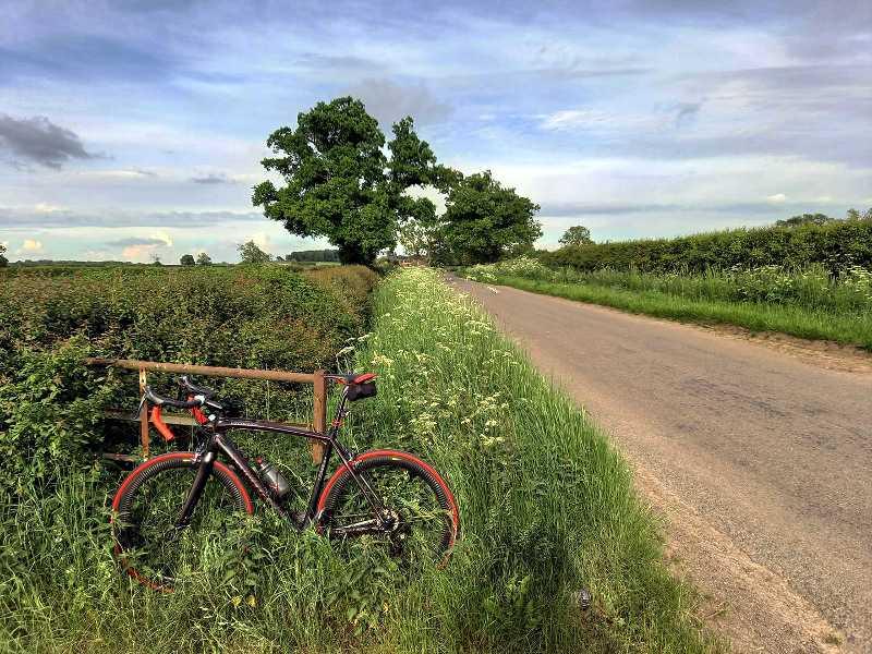
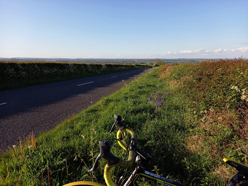
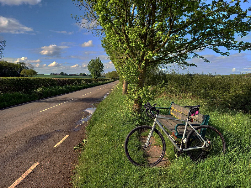
I took the following pic there, scoffed a slice of pizza, then continued on my way.
I
listened to a couple of hours of my Jack Reacher audiobook, then the
footy on 5 Live. The third Reacher novel is a definite improvement on
the second; much more coherent and believable. Probably stronger than
the first, as well.
Back on 51.14 miles – My impromptu detour didn’t add much more than a mile, surprisingly.
I wanted to do do a Fondo today. A 10mph-ish wind was blowing from the
west, nothing unusual but it limited my options a bit. I thought of
having a run out west to Bingley Hall. Didn’t really fancy it. I thought
of doing a run down to Northamptonshire, Welford and back. Didn’t seem
to be in the mood for that either.
But I’ve been feeling
nostalgic for my first few years in Derby recently. Last night I had the
idea to go and visit a pub / restaurant a couple of miles out of
Spondon that I used to visit, usually on Friday lunchtimes with work
colleagues, in the early ’90s. I haven’t been there since 1994 at the
latest.
So I thought I’d do that. How I’d extend that to a Fondo I wasn’t sure. I’d have to improvise.
I
set off at about 09:45, on the Cannondale. My idea was to go up over
Swarkestone bridge, hang a left along the A road next to the river, then
take a right into Derby along there and find my own way to Spondon. A
bit of an initiative test. So after 14 miles I took a right along
Stenson Road, and followed my nose. This took me, about 2.5 miles later,
to Derby’s ring road, the A511, as I expected it would. Very familiar
territory for me, from my years as a Derby resident. All very urban but I
pedalled along happily, wallowing in old memories. The girl from
chemical engineering I dated who lived just off the ring road. The older
woman I fancied who worked at the petrol station near Allenton. Friday
nights at the Rolls-Royce rifle club along there.
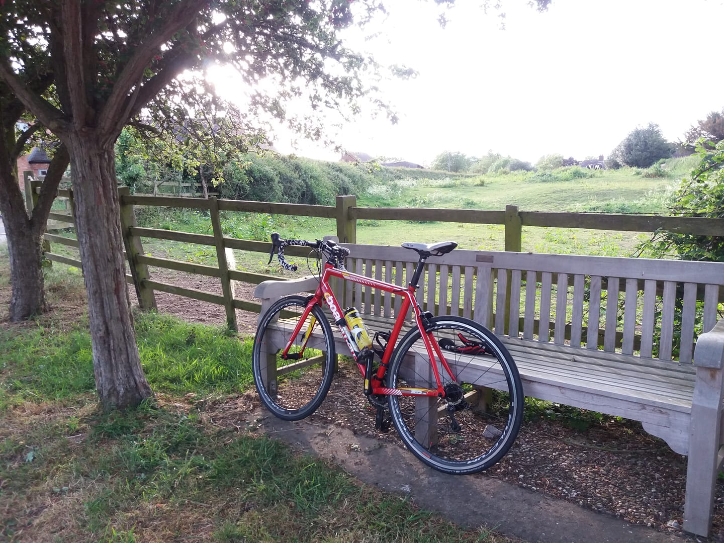
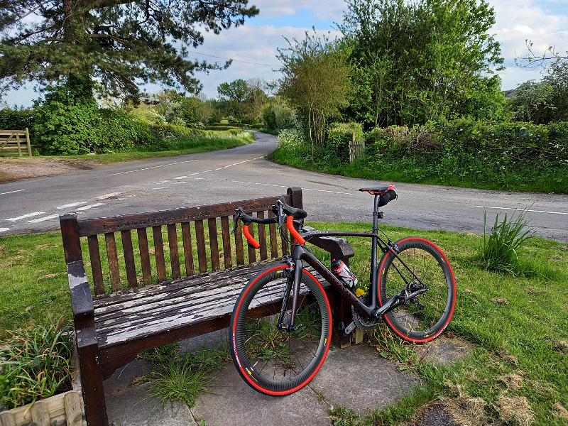
Anyway I got to Alvaston, then took a right toward Shardlow. I knew I’d be able to cut over toward Spondon past Elvaston Castle. I did that, then stopped and refuelled at a bench I sometimes used on rare occasions in the noughties, when I cycled back to Derby from Nottingham University.
However
I took the wrong turn off Draycott Road, and ended up on the A52. This
took me to the “Asda roundabout” and from there I decided the best bet
to go to Spondon was to head over toward my old house up Acorn Way –
then take a time-honoured route to Spondon from there.
I used to cycle up Acorn Way quite often in the ’90s. It’s a two mile, hilly road running past farms and open fields, leading to a modern housing estate – at one time the largest in Europe – called Oakwood, where I bought a house in 1991. Nice to be doing it again all these years later. It seemed easier today than it did then. From Oakwood I took a nice rural route to Spondon that I used to use very often in the early ’90s, because I had a girlfriend who lived there. I mostly drove that route but I used to cycle it sometimes, on my old Raleigh Routier.
I arrived in Spondon a couple of miles later, but somehow I’d forgotten where her house was, despite having driven or cycled to it at least a hundred times. I was about to give up on that when I saw her walking toward me, on the pavement. I’m ashamed to say that I basically hid from her, by lowering my head so that the peak of my cap obscured my face, then pedalling right past her.
My overwhelming feeling about that person is: guilt. I started seeing her about one year after a relationship breakup that I still wasn’t over. She was a gentle and unassuming soul, but because I was basically emotionally broken and numb, she ended up being mistreated, in a big way. The worst thing I did to her was to get engaged to her. I strung her along for months after I knew I was never going to marry her. And when I finally did her the favour of breaking up with her, she cried her eyes out in my car for half an hour.
I should have stopped to talk to her. I last chatted to her in a supermarket in Derby in 2002, and that was pleasant enough. But today I couldn’t face it.
Anyway. Feeling humble,
contrite and rotten, I pedalled over to the pub I remembered, called the
Bartlewood Lodge. They used to do an exceptional banana split. I didn’t
actually go in, but nonetheless – really strange to be there again,
like a ghost from the future, re-inhabiting a previous life.
I
kept going along the same road and ended up at Ilkeston. I would have
gone a bit further but I’d been rolling downhill for a while, and the
gradient started to become quite steep. In cycling, what goes down must
come up if you’re coming back the same way and I didn’t fancy a steep
climb for the sake of visiting a pretty uninteresting provincial
Derbyshire town, so I turned back.
Back the way I’d come from Oakwood. I missed the turn to Elvaston but kept on to Draycott. I was about to stop and consult Google Maps to find my way to Shardlow, which I knew couldn’t be far from there. But I saw a signpost to Sawley; close enough.
At Sawley, I stopped at a bench for an impromptu late lunch, consisting of the rest of the food I’d brought. After a few minutes, an old bloke came walking by. He stopped and gestured with his walking stick.
For a moment I thought he was cautiously making sure I’d make room for him to pass on the pavement with adequate social distance, but in fact his intention was pretty much the opposite – he was asking if I’d shove along on the bench so he could sit beside me. Clearly this wasn’t the best idea in the present circumstances, so I hurriedly finished off my flapjack, stood and offered him the bench. After sitting down he asked me where I was going, and if the wind had bothered me. Nice old man.
I headed to Donington from there. As I passed the airport, I noticed an RAF plane – not particularly military-looking, apart from the ROYAL AIR FORCE designation painted on the side – looked like an A330, painted in matt grey. It was taxi-ing along the runway. As I continued, I saw quite a few cars parked up outside the perimeter fencing, on the grass verge. One or two families with camping tables and chairs set up, wielding binoculars. I took a snap of the aircraft at the roundabout; it’s not very clear.
A few minutes later I saw the same aircraft pass overhead. Bad timing. I should have stayed to watch it take off.
I came home the usual way from Donington. Back home on 67.40 miles.
Nice
run out, part sentimental, part new territory. Cloudy and cool in the
morning, warm in the afternoon. Quite windy though, and my cap blew off
once while cycling into it along the A road next to the river. I had
attached it to a retainer though for just this eventuality, and it
dangled behind me in the wind like a parachute brake, until I recovered
it.
Much cooler day today, not much of a wind, dry, cloudy. Wanted to do
about 30 after work, ideally. Normally the Planet X would have been the
instrument of choice for those conditions, but I took the Tricross out
of pure idleness. It was closer to the garage door.
Set off with no clear plan, found myself doing the southbound route. But I kept on keepin’ on past Kirkby Lane, thinking to continue to Desford. I haven’t been there for a while; it was part of the now-deprecated Northants route. At Desford I saw a sign for Newtown Unthank, and thought – why not? From Unthank I took a road signposted to Thornton, more familiar territory. I thought of continuing on to Markfield but got cold feet about being on call too far away from a computer, so I followed a sign to Bagworth instead.
After that I took a
left along Wood Road on a whim, hoping that getting semi-lost might
notch up the distance a bit, but I was in Ibstock in no time and just
came home the usual way from there.
Summer’s back! Or at least it was warm enough this afternoon. I wanted
to do 40 or so after work. Surprisingly I didn’t feel too tired, despite
having been telephoned at 04:15 in the morning, then asked politely to
resuscitate a poorly server belong to a well-known left-leaning
political current affairs magazine. I literally switched it off, using a
remote power function, then switched it back on again. I’m not the most
analytical problem-solver at that time of the morning.
But if I
wasn’t too tired, I did feel sensitive to the risk of being called out
of hours again – so as usual I took a route intended not to stray too
far from base.
I started by going down toward Heather, then
across toward Measham. Then up to Packington and back along Alton Hill –
the old ‘Packington Pentagon’ route which has fallen out of favour now,
on the grounds of being a bit short. Less than 12 miles I think. But
rather than turning for home from Alton Hill, I headed up through
Coleorton to Melbourne, over Swarkestone Bridge and west along the
river.
I turned back after 24 miles with the intention of going
east as far as Isley Walton then back home down Top Brand, but on a
whim, after crossing the bridge again, I turned right for Ticknall.
If
I’d thought about it properly I wouldn’t have done that, because not
only did involve me ascending the northern face of Bastard Hill to get
home, but it meant that I’d have to do Alton Hill again as well. But
oddly it was easier on the second go than the first. I’m sure that’s the
first time I’ve done it twice in the same ride. A couple of years ago I
used to avoid doing it once, where possible.
Back five minutes
after sunset, on 40.70 miles. I’d had the rear light on for about half
an hour, conditions had become quite gloomy and I wondered if it was
going to rain (it didn’t). I’d had the front light on for the last ten
minutes or so of the ride. Only a little LED blinker but that was all I
needed.
That was quite a workout, I suspect in my top three or four rides in terms of average elevation gain per mile.
Started the third Jack Reacher novel in audiobook form. Good stuff.
I’m
620 miles ahead of my mile tally for 8 Sept on my highest-scoring year,
which was 2016. I did 5776 miles in total that year, so I’m aiming for
6,000 in 2020. On that basis I need to do about 500 this month. 157 done
so far.
In July 2017 I attempted to cycle to Worcestershire and back. And by the
modern understanding of the term “Worcestershire” I did do this, but it
later transpired that, by the geography of the “historic” or
“ceremonial” counties, I hadn’t. I hadn’t quite managed to leave
Historic Warwickshire.
I much prefer the traditional, historic
county definitions to the modern notion, which includes the likes of
“West Midlands” and “Greater Manchester” and seems to me to be more
administrative than geographical.
So this morning, I set off in
the direction of Historic Worcestershire. This was actually quite a bit
easier than I expected, because the historic version of the county has a
sort of pointy peninsula that extends north-eastwards, to the east of
Birmingham. The nearest part of this is only a 12 or 13 mile ride from
the southernmost point of one of my regular Twycross routes. I took a
slightly longer way round though, to avoid a hill climb south of
Atherstone – and to help bump the distance up over 62 miles, to
accomplish the September Fondo. I also started off by going up to
Packington then across, to increase the distance.
So the ride I
ended up doing was actually a fairly standard Twycrosser circuit, with a
30 mile linear detour to the south-east tacked on.
Some of the new roads I experienced today were really quite pleasant, making me wonder why I’d never bothered exploring over that way before. However I also had to contend with a busy (but short) stretch of dual carriageway A5 and some stony single-track lanes. I passed a big oil terminal at Kingsbury, apparently operated by Shell and BP, though I noticed some Asda petrol tankers parked up there as well. The last mile or so to the (historic) county border are pretty dismally urban, characterised by run-down looking council flats and awful-looking pubs. Nothing to suggest a boundary between two counties.
I’d been thinking of listening to old Dad’s Army radio broadcasts on my MP3 player. You can buy them in CD format from Amazon and elsewhere, though they’re quite expensive. BBC Sounds doesn’t have any of the old episodes per se. But it does have a three hour programme called Permission To Speak, in which Harold Snoad and Michael Knowles, who adapted the TV series for radio, introduce six episodes. So I listened to that. really quite a joy, I must say. Michael Knowles was an actor as well as a scriptwriter and may be remembered by some as the posh Captain Ashwood in It Ain’t Half Hot, Mum.
Arthur Lowe and John Le Mesurier were still in their 50s when they recorded the first few series of Dad’s Army. But at least I’m not as old as Privates Frazer or Godfrey, yet.
Later in the day I listened to an interview with Ken Dodd on Radio 4 Extra. Don’t know when it was recorded. Very good, though. Very funny.
Cloudy
and cold in the morning. Warm and sunny in the afternoon, but I didn’t
get round to removing outer layers until I stopped at the Gibbet Post, a
few miles from home.
Anyway – back on 63.42 miles so that’s the September Fondo done. 116 done in September so far.
Sunday looks like a less windy day than tomorrow so I thought I’d go and
do 25 miles or so on the Tricross after work today, have tomorrow off
then do a longer one on Sunday. A decidedly cooler day than yesterday.
Cloudy and moderately windy. I headed up through Coleorton, over to Long
Whatton and Diseworth then back down Top Brand.
Coming back down through Coleorton, a lady driving a Corsa stopped to let me pass a line of parked cars. Her window was down so as I passed her, I smiled and gave her a nod of thanks. This provoked a bizarre reaction. First she stared at me vacantly, then her whole face creased up in a look of intense cavewoman rage. Then her mouth opened wide and she screamed “WANKER!!” furiously. Then there was a squeal of tyres and she accelerated away behind me.
What that was about, I have no idea!
But some readers will be commending her on an accurate character
assessment in a very short space of time, I’m sure.
As I reached
the bottom of Top Brand I realised that I’d be home on about 21 miles,
but it’s hard to extend a ride by a few miles from there. Back on 21.34
miles.
A gloomy, rainy morning gave way to a surprisingly warm, dry and partly
sunny afternoon. I left work early to get the September campaign off the
ground. I did a pretty typical Twycrosser on the Tricross.
A bit of a stiff headwind approaching Newton Burgoland. Apart from that, quite pleasant.
The
front disk brake on the Tricross has started a bizarre “gurgling” noise
when you operate it – sounds almost like water running into an empty
metal tank. Quite bizarre. I’ll google it shortly.
Not the best bank holiday weather yesterday, but certainly not a bad day for cycling – mild, dry and only intermittently sunny.
In
2016 I set myself the task of cycling to all of Leicestershire’s
neighbouring counties and back. Once I’d done all those I started doing
non-neighbouring counties, and I’ve done quite a few of those now. In
2018 I decided that the next most viable one was Gloucestershire, but
then I injured my knees and I haven’t added one to the set since then.
However – my knees are now back to long distance form, the Summer is
running out and I had all day yesterday, so I decided to give
Gloucestershire a go.
The route is very easy – just pick up the
old Roman road of Fosse Way south of Stoney Stanton, and keep going
south. I took the eTrex for navigation anyway as although it looks like a
straight line on a map, there are actually a few fiddly bits when you
get up close and personal with it.
I set off at 07:30. I was actually on call until 09:00 so taking a bit of a risk by 08:30 or so, as by that time I was a fair distance from a computer in the event that I should get a call from work. But it was unlikely, and I didn’t get called. I was very relieved to switch the phone off at 09:00, by which time I was 16 miles away from home.
Nice to be doing an unfamiliar road – I’d only been about 30 miles down Fosse Way before – but the last 15 miles to Gloucestershire are hard. Long climb after long climb, like a drawn out rollercoaster ride. I didn’t much enjoy wooshing down those long slopes, knowing that I’d have to pedal back up them on the way back.
Stopped at a garage to buy some supplies – a sausage roll, a cheese & mushroom pie and some water – about ten miles from target. I dutifully put a face covering on, though the only other customer in there hadn’t bothered. He was only paying for petrol and was in and out of there in about 30 seconds, but still – it does seem inconsiderate.
I turned off Fosse Way onto a B road for the last mile and a half, and arrived at the Gloucestershire border at about 13:00.
I
kept going into Gloucestershire for another 200 metres or so and had
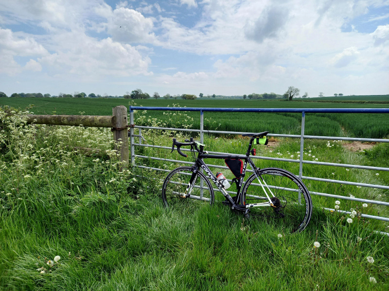
lunch leaning against a large tree off a secluded little country lane.
Then I prepared myself mentally to face the hills again, and came back.
On the way back I stopped to take a pic of the High Cross Monument, marking the intersection of two major Roman roads, and (supposedly) the centre of Roman Britain. It’s featured in one of the Great British Car Journeys episodes, with Peter Davison and Christopher Timothy.
Stopped at a shop at one of the villages on the way back, not sure which one – Bretford or Brinklow, probably – and bought a bag of crisps, a can of cold Espresso and a Magnum ice cream. I hadn’t intended to have the Magnum, I really only bought it on the spur of the moment to get the overall cost up to the minimum debit card charge. I stopped at the bench outside the shop and consumed them all. I’m sure that really helped a lot – after 100 miles I was starting to feel superficially weary but I had loads of energy. I probably didn’t fuel myself enough on the 200 mile ride in June and if I had, I wouldn’t have felt so spent over the last 40 miles.
Back on 115.85 miles, which took my August total to 686 – this year’s highest monthly tally so far.
Very
nice to have added another county to the list. I don’t think I’ll do
that ride again, though. Strava tells me that it’s the most elevation
gain I’ve done on any ride so far. 5,761 feet.
I finished my Jack Reacher audiobook on the ride, Die Trying.
Quite enjoyable but really pretty dumb pulp fiction. I do like the way
he ties the various strands of his stories together, though. But he
obsesses over details a bit too much.
I also listened to the BBC’s Brexit: A Love Story? on R4. Predictably there’s a satirical, mocking tone to the way the various protagonists on the Leave side of the argument are portrayed. I’d have been too angry to listen to it a year ago. But in the light of events since then I found a certain indulgent satisfaction in listening to it, knowing that the BBC had been defeated. A bit like listening to one of Lord Haw-Haw’s old broadcasts.
Cold day today. I was comfortable enough on the bike, but I had to wrap
up warm. The Boardman was selected as weapon of choice since there were a
few puddles around, and I set off at about 11:15.
With a
strong-ish wind coming from the north, the intention was to go north,
then west along the long A road under Derby, then back. I only wanted to
do 35 miles or so but I was on call, so I tried to pursue the usual
strategy of not wandering too far from base.
I went up through
Belton to Long Whatton where I turned west for Melbourne then over
Swarkestone Bridge and westward as far as Willington. Then I came back
down Top Brand, rather than continue on to Long Whatton.
Mostly
cloudy, but the sun did come out for about five minutes! And
unfortunately an unexpected and persistent rain started about three
miles from home.
I mostly listened to my Jack Reacher audiobook.
The second half has gone a bit incoherent; almost surreally implausible.
It’s as if the author developed a powerful drink habit after writing
the first 20 chapters or so.
My Garmin bike computer gave a low
battery warning on the way down Top Brand but fortunately I had a GPS
watch on so I used that for the last eight miles, and concatenated the
tracks when I got back.