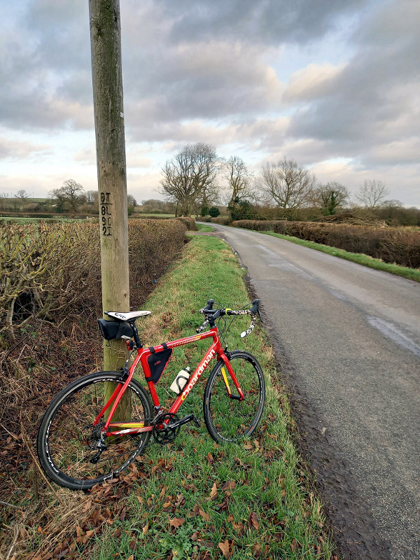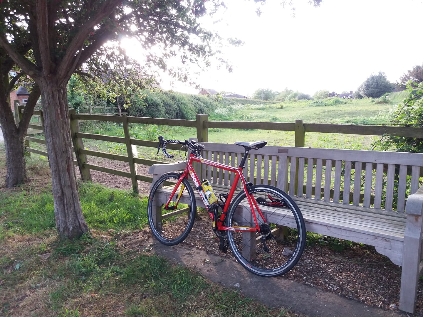
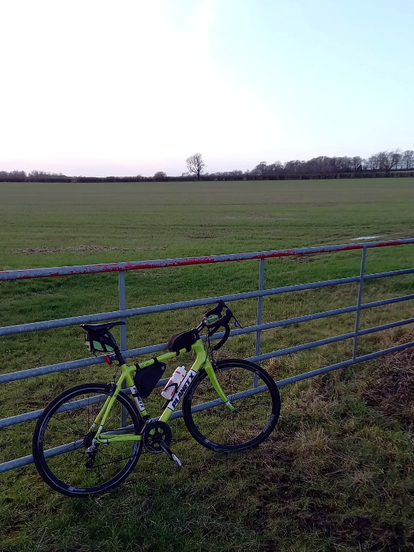
Back to work tomorrow but today promised to be mild and dry, with a moderately strong wind coming from the south-west. Decent enough weather, I thought, for the January Fondo. I’d thought of going west along the Beloved Flat A Road, but shortly before I set off, I decided on Welford and back, down the southbound route. I like to ride to all of Leicestershire’s neighbouring counties at least once every year and this would allow me to tick the Northamptonshire box.
I set off at about 10:00, a bit later than I wanted but early enough that I should manage to make it back before it was dark, although I did bring decent lights. The roads were a bit wet from overnight rain but I took the X anyway.
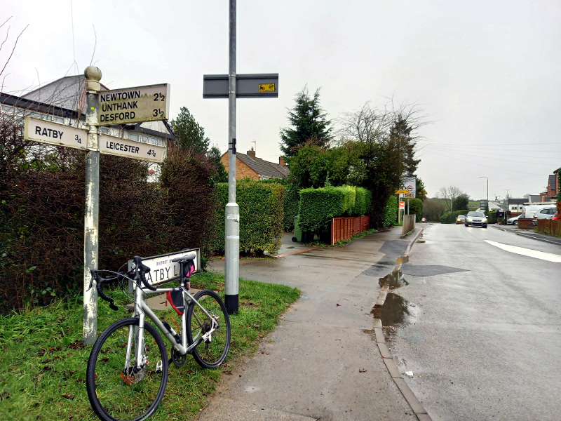
Nice and quiet, not much traffic, especially early on. I became anxious that I hadn’t brought enough food as I approached Stoney but fortunately the Co-op there was open. They do give money to the Labour Party, but if the last few by-elections have taught us anything apart from the dishonesty of the left-leaning media, it’s that Labour is harmless enough now. I bought too much food and some of it is in the fridge now, but better too much than not enough.
I listened to an interview with Johann Hari on my DAB personal. He’s written a book called Stolen Focus, about the way that technology in general and the social media in particular have robbed us (or many of us) of our ability to concentrate. I used to loathe Johann for his visceral anti-Tory opinions and I laughed for days on end when he shat on his own career by sabotaging Wikipedia pages concerning people he disliked and plagiarising other people’s work for his moronic articles in The Independent. But I must admit the odious little wanker seems to have come up with something worthwhile this time and I was honestly quite interested in what he had to say.
That said, I can’t really imagine a right-leaning journalist – they do exist – being rehabilitated so effortlessly at the BBC. Then again most right-leaning people have higher standards of integrity and conduct than to behave like Johann did before The Independent fired him.
I also started a new audiobook, Colonel Sun by Kingsley Amis, published under the nom-de-plume Robert Markham. This was the first 007 novel to be written after the death of Ian Fleming, published in 1968 and I first read it at the age of 14. I don’t remember much of it but based on the seven chapters I got through today, this is very, very good stuff. Amis manages to out-Fleming Fleming – it’s all there. The post-war British stoicism and elitism. The detailed, worldly, slightly snobbish descriptions of locations, food, clothes and everything else. Every woman in the book is objectified in exquisite detail as well. More importantly it’s an intriguing plot.
Bond mentions to one of his female accomplices in Colonel Sun that he’s half Scottish, half Swiss. And so is Johann Hari! What were the chances?
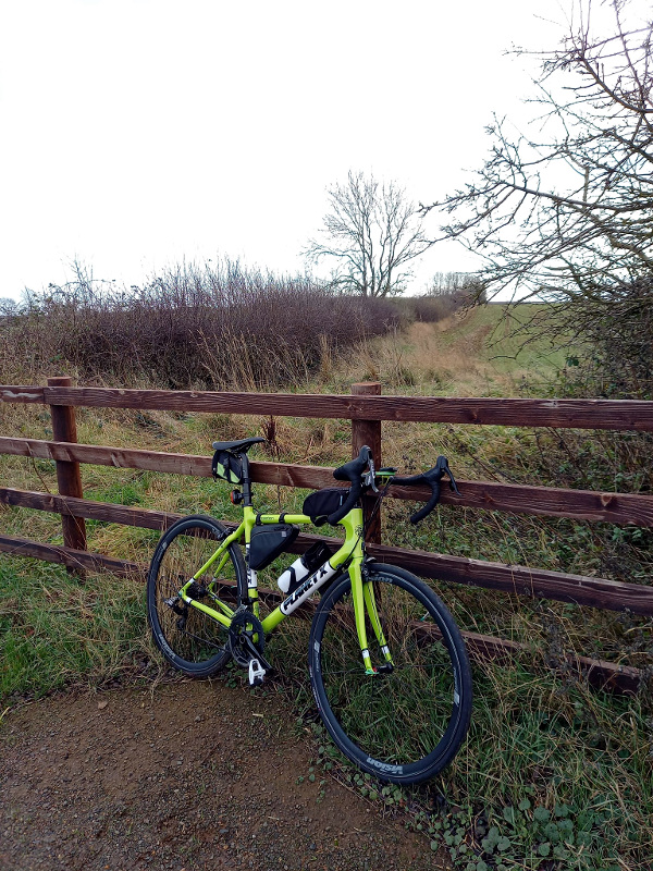
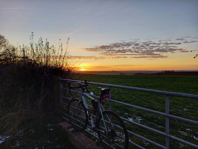
Really a rather nice ride, especially when the sun was out. Back not long after sunset, so I took full advantage of the additional 13 minutes of afternoon daylight that we’ve gained over the last three weeks. Don’t think I’ve ever done a Fondo on the first ride of the year, before. 65.88 miles.