Rain in the forecast today, but not until the early afternoon. I got up a bit earlier than I otherwise would have, and set off at about 09:50. I’ve brought Boardman II back from my mum’s place now, so I took that.
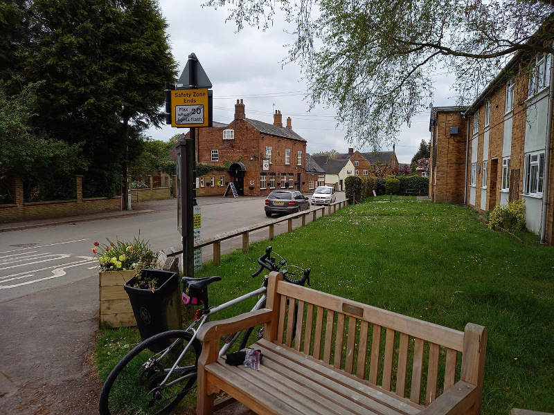
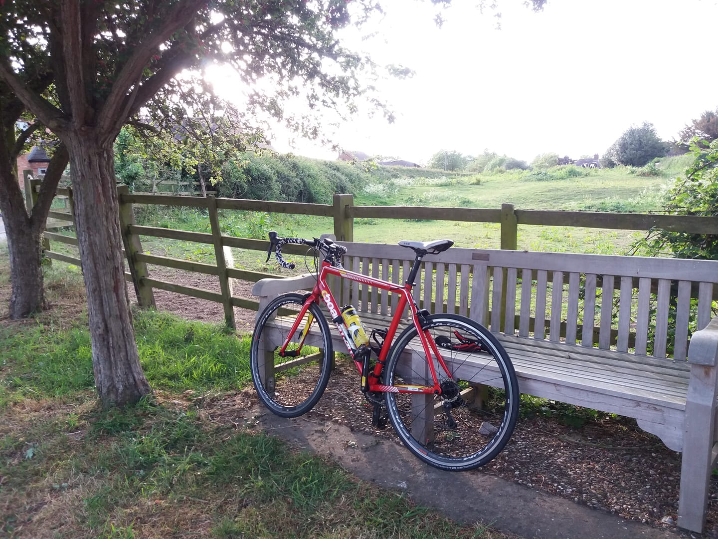
I did a Twycrosser, with an extension down the “Dad’s Army” route in the direction of Tamworth, this time staying on the B5000 rather than taking the Spon Lane turn. I like that stretch of road. It’s not easy to incorporate it into a route though, so I typically just cruise along it for a couple of miles, then turn back. This time I got as far as Polesworth where I stopped at a bench for a bit before I turned back.
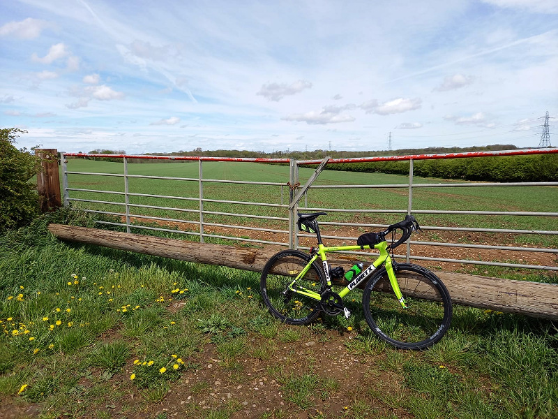
From Pinwall I continued the Twycrosser, choosing the Atterton Lane variant – I thought the road might be flooded near the river, but it wasn’t.
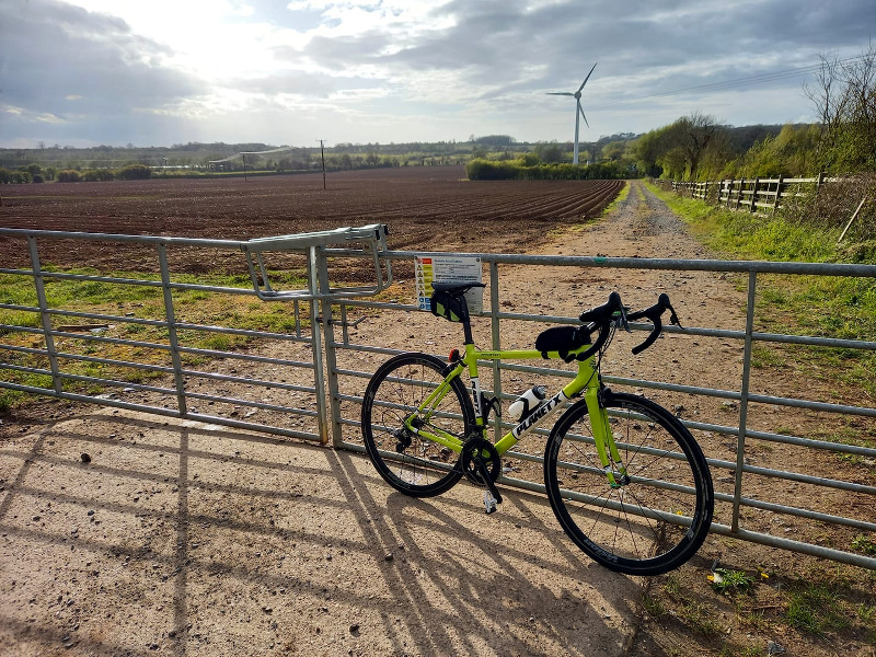
Stopped again along Fenn Lanes near the entrance to a farm that’s a few metres off the road and secluded. Lo and behold – another pair of discarded knickers. That’s three rides in a row! A hat trick! These ones had clearly been there quite some time though, they were faded and a bit rotten.
I did get rained on a couple of times, but the roads were perfectly dry near home when I got back. Hadn’t rained here at all and actually it still hasn’t which makes me think I should really have done a Fondo, except of course that it may well have pissed down with rain a mile from here. NW Leics is very micro-climate-ish. On the way up from Bosworth I could see rain in the distance to the north-west, maybe five or six miles away.
My rechargeable DAB has seen better days and it gave up after only 2.5 hours or so, from a full charge. I switched to the Reacher audiobook. I’d been listening to Jazz FM, some really good stuff again.
I wore the wrong gloves with my GPS watch. These particular gloves have long and slightly stiff cuffs and they sometimes catch the buttons on the watch, putting it into pause mode. Consequently there are a couple of perfectly straight lines on the track it recorded. But I’ve done the maths with the help of Google Maps, for the spreadsheet.
42.70 miles, which takes me to 214 this month and 1605 this year. This time last year I’d done 2283, but I’m not bothered about that. 4,000 miles will do this year.
https://www.strava.com/activities/5307093060
Just noticed from last year’s spreadsheet that I did a 113 mile ride a year ago today; my most recent Bingley Hall pilgrimage. Troubling to think that that’s a year ago already.