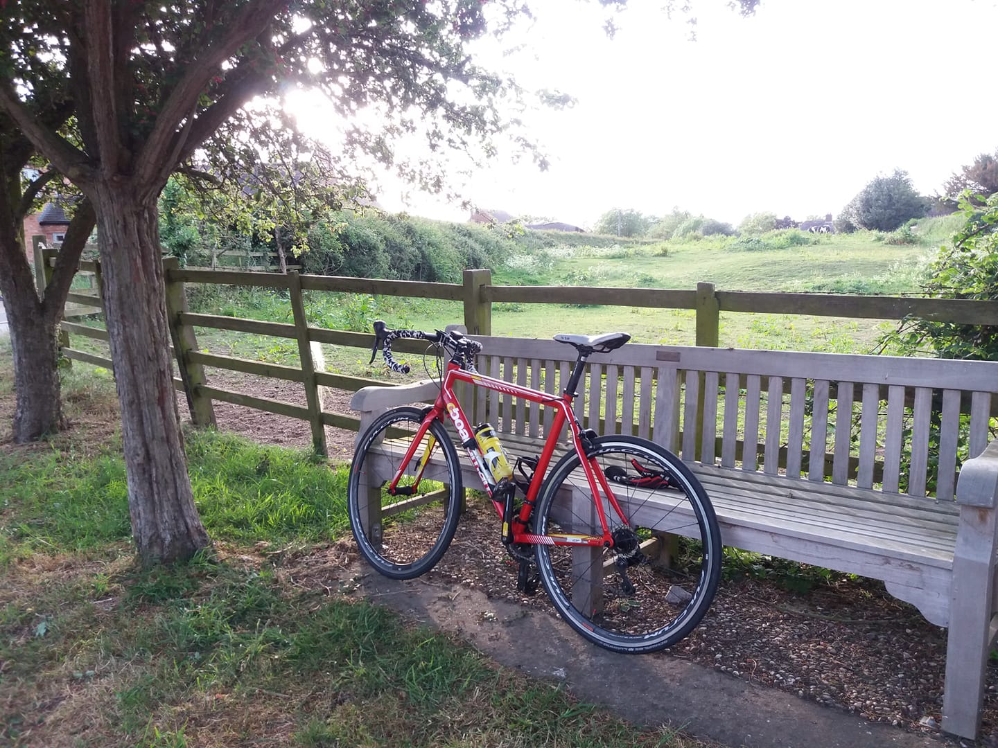
Went out yesterday intending to do 23 or so (a Twycross as usual), but ended up doing 27.17 – partly because when I got to Sibson, I decided do go home via Shenton again, to avoid the climb up the A444. Just lovely out there. So much nicer to be pedalling unencumbered by tights, and to operate the gears without gloves on. And nice to have an opportunity to wear my cycling sunglasses.
I developed a bit of a headache for some reason after the first 18 miles but I had a bit of a rest at the wooden bus shelter at Barton, did a couple of calf stretching exercises and was fine after that.
No knee pain to speak of generally, except for a couple of twinges pushing up hills and a bit of superficial soreness, so I was pleased about that. I had a standing-only gig to go to last night and the knees were a bit uncomfortable, but they seem OK this morning. However I will be good for the foreseeable future and not operate a bicycle on consecutive days.
And I note that the weather is gorgeous out there again today, but it looks like more of the same tomorrow. So there’s that.
https://www.strava.com/activities/2301945009
206 done this month.
I must learn to manage my distances properly. I’ve set up an overlay for Google Maps with landmarks showing the distance to home from strategic points along a number of my regular routes which would help, but I can never be bothered to get the phone out.
Perhaps 20 or 30 years in the future, you’ll be able to get cycling glasses with a sort of Head Up Display. They’ll be linked to Google Maps, or whatever the digital map provider of choice might be in the mid 21st Century. And as you approach one of the waypoints you’ve saved, you’ll have a marker projected into your field of view – it will be rendered to look exactly like a signpost sticking out of the ground, to the side of the road, saying “18 miles from here to home” or whatever.
You’ll also be able to have a voice-operated cycling assistant on your phone – so you’ll be able to ask for directions and help using a lapel mic on your cycling jersey. What’s the lowest elevation route to Melton Mowbray from here? Record my track and upload it to Strava. And so on.