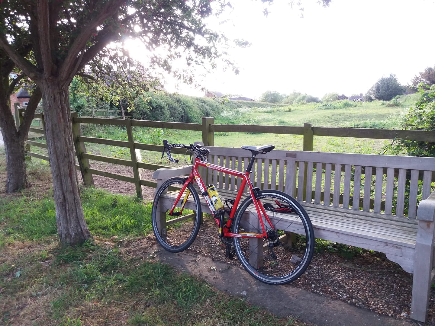
Was tempted to do 25 or so yesterday. No rain, very windy. I’ve been out in worse conditions certainly but I decided against it. Cycling is a bit like alcohol. Make sure you’re in charge of the bike, not the other way round. Keep it fun.
Instead I had a think about the logistics of doing a 100 miler, when conditions and circumstances allow. One approach might be to think what might be the 100 mile route from my garage door with the minimum possible elevation gain. Of course it would have to be a reasonably linear route, no cheating by doing multiple laps of convenient flat bits.
To this end I conducted an exercise with the Strava route planner. As some readers will be aware, it has a ‘minimum elevation’ function which purports to find the flattest route between two points. Now as it happens the routes it finds tend to be fairly rubbish, sometimes including sections of track that a reasonably sane off-road cyclist would think twice about.
However I conducted an exercise that I thought might be instructive nonetheless. What I did was this: I dropped the destination pin at 8 points on the route planner map, each roughly 50 miles from base – north, north-east, east, south-east .. and so on. I was interested to see which direction required the least climbing, and by how much.
The results are as follows (in feet):
| N | 1694 |
| NE | 554 |
| E | 1567 |
| SE | 1382 |
| S | 1012 |
| SW | 1311 |
| W | 903 |
| NW | 1111 |
Now of course the route wouldn’t have to be a straight line. Nothing wrong with a slightly L-shaped or jagged route. Furthermore elevation is not the only critical factor – the quality of road surfaces is quite important as well, for example. But it is a pretty important consideration.
So I think the results are quite interesting. There’s a sort of corridor of flatness extending to the north-east from my house, roughly following the River Severn.
Might go out for a couple of hours later today.
