I was on call yesterday, but with no rain in the forecast I hoped to do a Fondo. In the past while on call I’ve done these by contriving a sort of orbital route that doesn’t stray too far from home, but this time I decided to take my chances. After all, I’ve been called out on a Saturday very few times over the years, and and statistically the odds of getting caught out are quite low.
With an immoderate wind blowing toward the east, I decided to head west to get the headwind over in the first part of the ride. I plotted a route that would take me over that way via the usual route – I call it the “Wales” route although I usually only do the first 30 or so miles then come back – but I also planned a detour via Austrey, so that I could take in the ski slope descent from the crossroads near there that I’d seen a few times on the Orton detour of the Twycrosser.
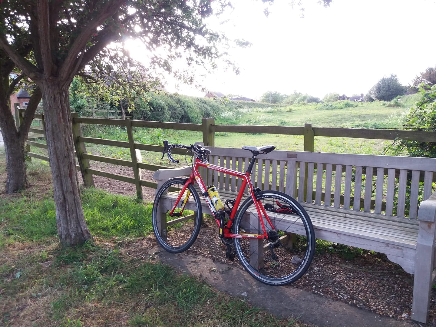
I set off 10:20, a bit later than I intended but with more than enough daylight left. I took the Tricross, since my route would take me over some rough road surfaces near and over the Staffordshire border. I must admit I felt slightly self-conscious wearing a camo hijab as I greeted my neighbour who was washing his car at the time. But it looked a lot less conspicuous once I had a helmet on over it.
The descent down the ski slope road from the crossroads was a lot of fun. But the road from there through Austrey to No Man’s Heath was really nice – odd that I’ve cycled more than 20,000 miles round these parts this last few years without taking in a nice road that’s not much more than ten miles from home. I guess it shows that humans are creatures of habit, or perhaps it’s just me.
I continued on from No Man’s Heath through Clifton Campville as I normally would. But about 17 or 18 miles into the ride, I realised I’d taken a wrong turn. I kept going for a bit regardless enjoying the new scenery, but stopped at a bench to consult Google Maps and find my way back to the planned route out west. But the backlight on my phone appeared to be broken – it was extremely dim, to the point of being unusable.
Oh well! I kept going anyway, until I found myself in Tamworth. Here I saw a road sign to Alrewas, which was on the route I’d intended to take, so – I took the required sharp right, and ploughed on along the A513. About a mile later though, I came across a road to the left marked ‘Coton Lane’. This looked a lot quieter and generally more suitable for cycling than the A road I was on, so I took it, in the hope, or expectation that it would lead to Coton in the Elms, another familiar place. It didn’t. But I decided to stick with it in the hope that I’d find a useful road sign. I was really enjoying myself at this point, I must say. I’d already been rained on a couple of times, but I was exploring new roads and I had a proper adventure on my hands. I was enjoying some really lovely scenery as well; my only regret was that I couldn’t operate my phone to take some pics.
I didn’t find a useful road sign. Eventually I found myself in the nether regions of Lichfield, having done 29 miles – so I decided to turn back, and try to follow the same way home. But after another half hour I was lost again. I was heading right into Tamworth city centre, and I hadn’t been that way on the outbound part. I blundered on, trying to find my way by intuition until I found myself crossing the same picturesque bridge over the Tame that I’d been over about half an hour, and five miles earlier. I was going round in circles. Or at least, I’d done one unnecessary circle. So when the roundabout up ahead loomed into view again, this time I went straight over, instead of turning right – which is what I should have done the previous time. I found myself back at the A513 again a few minutes later so I continued north on it, back on the road to Alrewas.
I’d done more than 40 miles by this time and I’d convinced myself that I wasn’t going to be home on much less than 75 – Alrewas was still a considerable distance away, and an even more considerable distance from home – but after a couple of miles, I came upon a right turn to Clifton Campville, only 4.5 miles away! I was half tempted to keep going to Alrewas, but my characteristic wisdom and good judgement got the better of my adventurous side and I turned for Clifton. I was on call, after all.
I must admit, the realisation that I was actually not that far from home did burst my bubble, a bit. If I’d gone directly home from there, I wouldn’t even have done 60 miles. So at the big roundabout over the M42 I kept straight on for Measham, then turned down to Swepstone. From there I looped round up through Packington and came back along Alton Hill. Home on 65.20 miles.
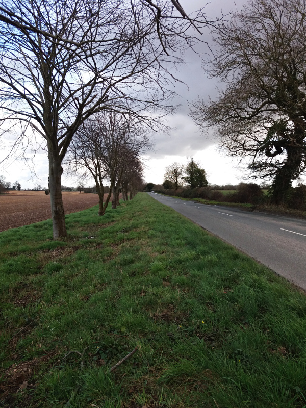
Stopped at a bench about 15 miles from home during an overcast moment and by squinting carefully, managed to operate the phone sufficiently well to organise a Facebook update and take a pic. Not a very interesting scene, and it would have been nice to have captured some views of the rivers I crossed, but at least I got one. And here it is.
Quite an unforgettable run out, really. I was too idle to set up the eTrex, and yet the fact that I got lost and ended up having to navigate by road signs due to an unserviceable phone made it a lot more fun. Perhaps there’s a lesson there; technology isn’t always the answer.
Very changeable weather – partly cloudy, partly sunny, a few rain showers and even torrential hail for a few minutes. Lovely and spring-like when the sun was out though. The roads were often very wet. Had to give Neil a thorough wipe down in the garage.
No particularly interesting wildlife. A couple of very large, dead Canada Geese by the side of the road near No Man’s Heath. Looked to me as though a predator had got them. I highly doubt they’d fought each other to the death and I don’t think they’d been hit by a car. Parts of the country are infested with them; can’t help thinking the solution is to hunt and eat them. There must be a lot of meat on those buggers.
Had a closer look at the phone when I got home and it turned out that the screen brightness was turned right down in the settings. How, I have no idea. Perhaps some secret hotkey function invoked by random accidental button presses.
Glad to have done a Fondo on the first of the month, again. In fact that single ride fulfilled three Strava challenges – the March Gran Fondo, the March Long Day and the Le Col 110km challenge.
I’ll definitely try to introduce elements of that ride into some new routes. More coherent ones than that one.