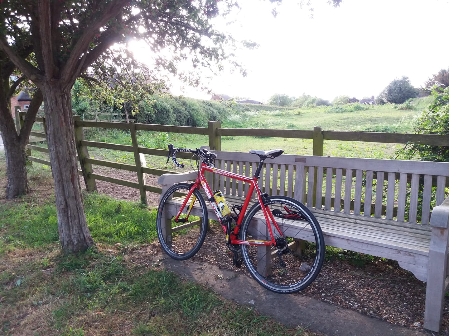
Another dry, warm day – a little cloudier than Wednesday but more irritatingly, a fairly stiff breeze was coming from the east. I set off with the vague intention of doing some of the eastbound route, but after 9 miles or so I turned left for Long Whatton. The headwind was annoying me and I decided the rush hour traffic on the other side of the A6 would annoy me even more.
I went as far as the airport, then came back down a longer way than usual down through Belton, Griffydam and Coleorton. Much nicer with a bit of a tailwind.
I used a GPS tracking app on my phone, imaginatively titled ‘GPS Logger’ to record the ride. I’d thought I’d probably only managed about 23 miles, but once I uploaded the track, Strava claimed 30.38!
Oddly the app itself claims 27.4, so where Strava has got the additional three miles from, I have no idea. But even 27.4 seemed a bit suspect so I recreated the route as a track in RideWithGPS, and that claims 26.3. I’ll take that. It seems a bit more likely.
Interestingly, the track that the phone app has recorded is bizarrely jagged and wonky. Technology, eh?
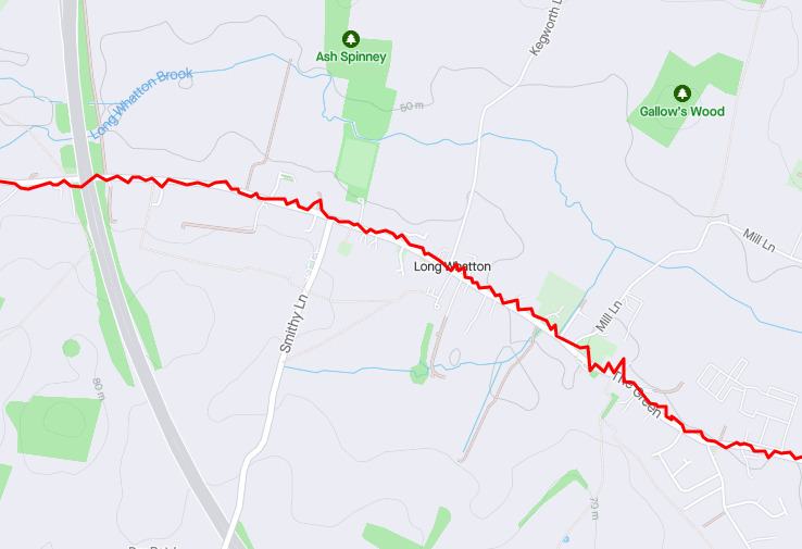
Actually I’ve just loaded the track into a GPX editor (GPSPrune) and smoothed out the kinks using a track compression algorithm, and now it measures as 26.5. So I think the RideWithGPS figure is close enough. I’ll go with that.
517 done this month.