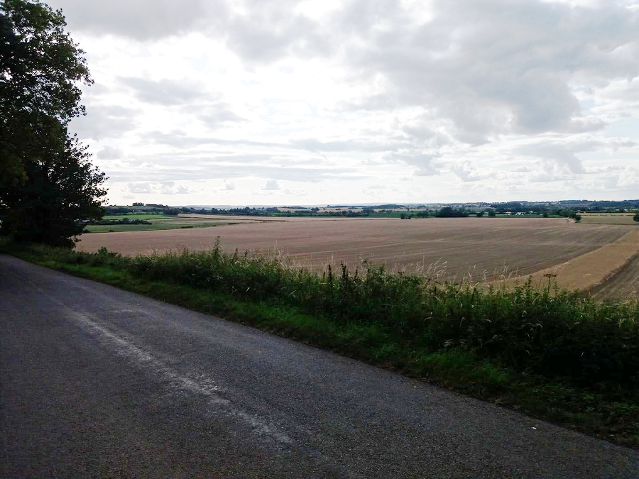
Little Twycross

Lovely sunny afternoon – mild, only slightly blowy and dry so with a decent quantity of post-4pm daylight on offer and the legs seeming to have recovered somewhat from their 50 mile indulgence a couple of weeks ago, I decided I’d go for a shortish spin. Not too far – about 15 miles, I thought – because I want them to recover properly tomorrow so I can go out again on Sunday.

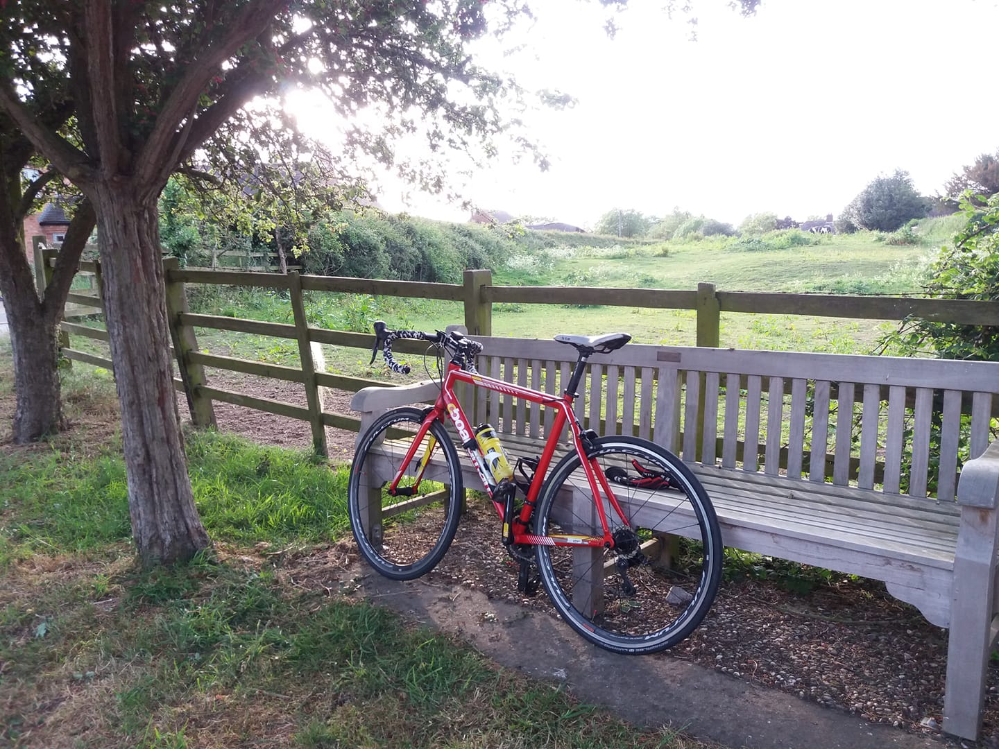
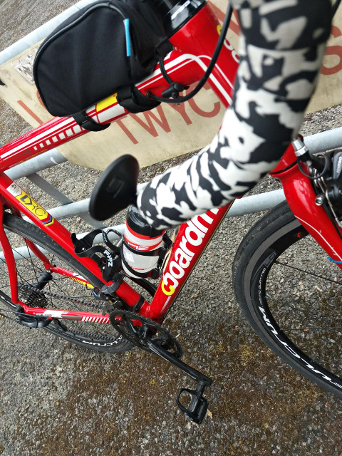
Got to the garage and decided I’d take the Planet X, but realised that the X’s bike computer was in the house. If I’d had a GPS watch on I’d have been fine of course but I only had the phone with me. So I took the red Boardman again.

I did the short version of the Twycross that takes a left at Little Twycross to Bilstone. Took it easy, really enjoyed myself. Even the farmy smells seemed to have a certain charm in the almost-spring sunshine.

No wildlife of particular interest save some cute birds in the trees near Twycross. Some sort of tit with a grey / beige chest colour and black & white trim round the head. Coal tits, perhaps or at least that’s what https://www.rspb.org.uk/birds-and-wildlife/wildlife-guides/identify-a-bird/ suggests.

16.68, leaving me with just 13 to do to reach the modest Feb target (156).

Belton

Strava’s a bit slow this afternoon.

Anyway I had a run out to Belton and back, eschewing the “figure of eight” route of old in favour of a more circular route through Coalville and Thringstone, intended to moderate the elevation a bit.

Quite pleasant, almost spring-like. But I had to contend with a bastard of a headwind coming back south, along Top Brand. Right knee hurt all the way round – possibly as much a consequence of the slant board exercises I was doing last night, as recent cycling shennanigans – but I don’t think I’ve done it any harm and it didn’t get any worse. More typical joint pain than the stabby, raw pain I get sometimes.

I trialled a new GPS phone app called “GPS logger” – quite a straightforward app that simply records your track to a GPX file on the phone, but the interesting thing is that you can set the logging interval – so you could set it to record only every 30 seconds, or even once a minute, or longer. Might be handy for long distances if you need to save phone power. Perhaps useful for keeping track of where you went on a long car journey.

I had it set to record the position every 6 seconds. As you can see from the following two samples the GPS Logger track is cruder than the Strava app track which I recorded at the same time, but still does a pretty good job of tracking the route.

Anyway – 15.29, which takes me to 305 this year. Another 29 to do this month to reach the 156 target. But probably no more cycling until Friday at the earliest due to other commitments.

Twycross

Went out on the Boardman this afternoon. Lovely day – mild, bright and sunny. I’d intended a low elevation route to the Gibbet Post and back which would have been about 15-16 miles. I’d picked it out by perusing my activity record on Strava, sorting them by distance and looking for the low elevation ones in the 15-16 mile range.

However being my usual absent-minded self I realised by the time I got to Snarestone that I’d basically ignored my plan, and was doing a Twycross on auto-pilot. As I neared Twycross though I turned left along Bilstone Road to Bilstone and Congerstone, to keep it short. Home on 16.73 miles.

Both knees experienced a bit of discomfort. Possibly I did give myself a setback at the weekend by doing nigh-on 50 miles. It’s a long journey. What the destination is I don’t know, but anyway I will be good and increase my distances in 2 mile per week increments as instructed by Physio 2. I’ll start from 16 miles, unless my knees improve markedly in which case I’ll consider my setback to be temporary and bump up the distances a bit more.

Lovely view of the daytime 2/3 full Moon in a clear blue sky throughout. One or two buzzards around, flying high against the blue backdrop.

The battery on my old Forerunner 10 died with about two miles to go. I suppose I’ll give up on it. Once again I synthesised the track by looking on Strava for the last time I’d done the same ride, exporting the GPX, editing it to remove 8 metres or so where I overshot a turn (because I didn’t do that this time) and to change the timestamps. I used a graphical tool called gpsprune. Nice & easy. Uploaded the modified version to Strava, job done.

Maybe another Twycrosser on Sunday.

https://www.strava.com/activities/2150910811

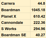
290 this year now, all of them on the red Boardman.

Twycross

Took a late, long lunch break and did a Twycross on the Boardman. Right knee was still feeling a bit aggravated from doing (very nearly) 50 miles on Saturday. I took it easy but still got pain in both knees after 8 miles or so. Nothing debilitating and I was able to complete 23.56 miles without suffering too much, but perhaps I gave myself a bit of a setback on Saturday. It does feel as though there’s a trend toward them getting better eventually. I was having to hop upstairs in July, and although I feel a bit of a pain in the right knee still I can at least ascend them normally now.

I’ll see how they feel at the weekend anyway, with another three or four days off.

Anyway quite a pleasant run out, disregarding concerns about my anatomy. Not too blowy, not overly cold. Bright to start off then a bit overcast and gloomy. Then dark-ish, but I had lights. Was back while there was still enough light to see the road without a powerful beam at the front (just had a cheapo LED blinker with me).

So that’s 95 this month, leaving me with 61 to do in the rest of Feb. 273 done this year.

Going to stick to 20 or so for a week or two I think. I hadn’t actually intended to do as many as 23 today. Just mentally miscalculated. I suppose I should keep a handy list of familiar routes and their distances.

Grimston

I left the garage atop the Boardman at about 11:35. I’d decided to head out east with the tailwind behind me and see how I got on. I thought I might just go as far as Wymeswold then come back, which would have got about 35 miles under my belt. But equally, I thought I might well turn back after 12 or so, to be on the safe side.

Wrapped up fairly warm, though it wasn’t that cold. I trialled a new tubular headscarf that came as a freebie with the balaclava – and that turned out to be really effective at keeping the wind off my ears. There are several ways to wear it but I opted to stick my head through it and arrange it so just my face was sticking out of it, like a hijab. Wore a dutt on top. Probably more useful than the balaclava, actually.

I took a low-elevation route to the main route out east, Ashby Road, joining it at Belton. Pushed along quite happily over the river and into Nottinghamshire in pleasant sunshine, with the wind at my back. Got to Wymeswold after about 18 miles, but decided to keep going for a bit. Took a detour along a quiet lane called East Road, looking for an inconspicuous spot for a wee. After consulting Google Maps I decided to keep going in that direction, then take a right along Hades Lane before joining Paddy’s Lane, where I would turn right and come back home.

Unfortunately, although the wind was supposed to dissipate roughly at this time it actually grew substantially stronger, as evidenced by a number of wind turbines in the vicinity, spinning quite powerfully and facing the direction I would have to pedal to return home. I was being buffeted by the wind quite powerfully from my right, so much so that at one point I was actually pushed onto the bumpy grass to the side of the road. I had to pedal quite forcefully to stay upright and rejoin the road, which was a real bummer because I hurt my right knee doing this and it wasn’t quite the same again for the rest of the ride. Up until that point I’d been keeping it in a reasonable state of equilibrium by taking it easy.

Anyway – I came to the junction where I was due to turn right and homeward, but I simply wasn’t going to push into 40mph winds with a dodgy knee. So I turned left instead, heading still further from home but with the wind at my back. In the back of my mind I thought I might even go as far as Melton Mowbray, spend an hour or two there in Costa Coffee then head home into less hostile conditions once the wind had died down. I pushed on another 1.5 miles until I came to a steep descent approaching Asfordby Valley, which I’d forgotten about. Definitely wouldn’t have been a good idea to come back that way so I came to an abrupt halt and consulted Google Maps. As it turned out I’d just passed a left turn to a village callled Grimston, with a pub called the Black Horse. So I headed that way instead.

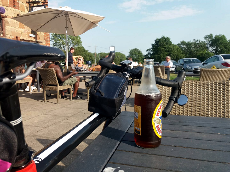
That turned out to be a good idea because the Black Horse had a very nice sandwich menu and friendly staff. I left the bike leaning against a wooden bench outside, strolled in and ordered a bacon & brie sandwich and an orange juice. I didn’t have my bike lock with me so I ate outside, at the bench. The sandwich came with perfectly made crispy fries, coleslaw and a small jar of ketchup. Perfect. Quite a fortuitous find because it’s only half a mile from Six Hills Lane, the main road over to Belvoir Castle which I’ve done a few times – a road which is conspicuously lacking in garages, caffs, pubs, small shops and other places to fuel up. Ideal really as it’s just about the half-way point as well.

So, suitably replenished and with the power of the wind having diminished a tad I set off again in the direction of Six Hills Lane and came home the usual way. My right knee had started to hurt a bit by this time but I took it easy, making the occasional stop to do quad and hamstring exercises. My left knee started to hurt as well over the last fifteen miles or so, which reminded me not to be complacent about it – I’ve focused mainly on the right leg for my physio exercises but I need to work them both.

Gloomier conditions set in just as I was leaving Nottinghamshire about ten miles from home and the temperature dropped a bit. I picked up a bit of rain near Zouch, but only for ten minutes or so. Things brightened up a bit again 20 minutes later.

Got home on 49.63 miles, but felt as if I’d done a long one – partly I guess because I hadn’t done a ride of that distance for many months, partly because I’d made a bit of a day out of it with a lunch stop, but also because I mainly used roads which I associate with longer trips. Very nice to be riding over that way again.

Didn’t see much interesting wildlife, just a buzzard, a fox that had recently been twatted by a motor vehicle, a quadruped that was so badly decomposed that it was impossible to tell what species it was, and some cute little hedge birds with brown / white foilage.

So – despite the wind and my concern about my knees, that was actually a pretty cracking ride out. A bit of an adventure being largely unplanned, and with some new roads and a new pub. And – I think I’ve got away with it. My knees don’t feel too bad. Assuming they do recover as I expect in a couple of days then I think it’s probably safe to try a Fondo in two or three weeks, if I can devise a suitably low elevation route (probably out west, north of Lichfield). I seem to be able to pootle along flat roads without putting any trauma on my knees if I take it easy.

Actually – here’s a thought. Maybe I could drive a bike to start / finish point somewhere east of Stamford, and do a flat 100 miler from there? It’s not cheating, is it? It’s not like people who live in Norfolk get disqualified from Fondos. I’ll think about that.

Anyway so that’s 71 this month, 85 miles to go to reach the Feb target of 156.

https://www.strava.com/activities/2134904725

Oh yes! Almost forgot. A discarded underwear sighting a few miles from Rempstone. Black, with pink and purple hearts. Unusual as the roadkill panty season proper doesn’t start until late April in the East Midlands.

Dry

Thought the roads would be wet this morning after yesterday’s precipitation but they look fairly dry. The forecast is for high winds pointing east over the next couple of hours, which made me think of taking advantage and heading over to Melton Mowbray. But I’d still have a headwind, albeit less powerful, on the way back.

Wow – weird – in the very second that I typed that a caller to Danny Baker on 5 Live mentioned Melton Mowbray. Spooky. Perhaps it’s a sign.

Probably better sticking to 23 miles or so for the time being. It’s not a particularly low elevation route anyway. But I do feel the need to do something a bit different.

Twycross

The roads were acceptably dry by lunchtime so I did a Twycross on the Boardman. Cold, but beautifully sunny. Just before I set off, the Man from Amazon turned up with a balaclava that I’d ordered – a full face affair, with just a letterbox for the eyes, and long enough to go right down the collar of a jersey. it certainly kept the cold wind off my face but it does have one disadvantage – it captures your breath as you expel it, then directs it up to the eye gap, where it fogs up your cycling glasses for a moment.
At my first wee stop near Twycross, I removed it. I think I would definitely wear it again in very cold weather though. There must be a solution for the lens misting problem.
It probably looked a bit silly under a red dutt.
Onward through Sheepy, and back to the A44 along Wellsborough Rd. I’d done 13 miles at that point and was hoping to do 22. I knew that the end of Gibbet Lane -> home is about 8, so I took a left and came back that way. Stopped at the Gibbet Post to see if a few of the physio exercises might help, but they seemed to wear me out a bit – I felt a bit dizzy when I got back on the bike for the first minute or two.

My front tyre picked up a bright grey stripe – salt on the roads, no doubt.

Saw a couple of buzzards.

https://www.strava.com/activities/2119442890
21.83 miles, 200 this year (all on the Boardman).
I think the exercises are helping a bit.