A day off work today. Just using up my remaining annual leave
entitlement but I did my best to choose a dry day, and the weather
forecast was as good as its word.
I woke up early and might will
have got up and set off before 07:30, except for the thought that I’d be
too cold. I only wanted to do 40 or 50. Better to wait an hour or two
for warmer conditions.
So I fell asleep again. I dreamed of a
villa in Spain from which I had a spectacular view of the Post Office
Tower, only a few hundred metres away. I ended up setting off at about
10:45.
A light wind was blowing from the west so I decided I’d
head over to Isley Walton then take the sharp left to Melbs, up over
Swosser Bridge and cruise west along the A road. However I was
confronted by a ROAD CLOSED sign at the left turn, so I continued on to
Castle Donington, took a left at the A50 roundabout and approached
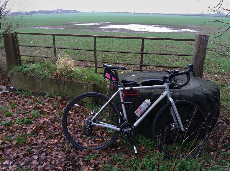
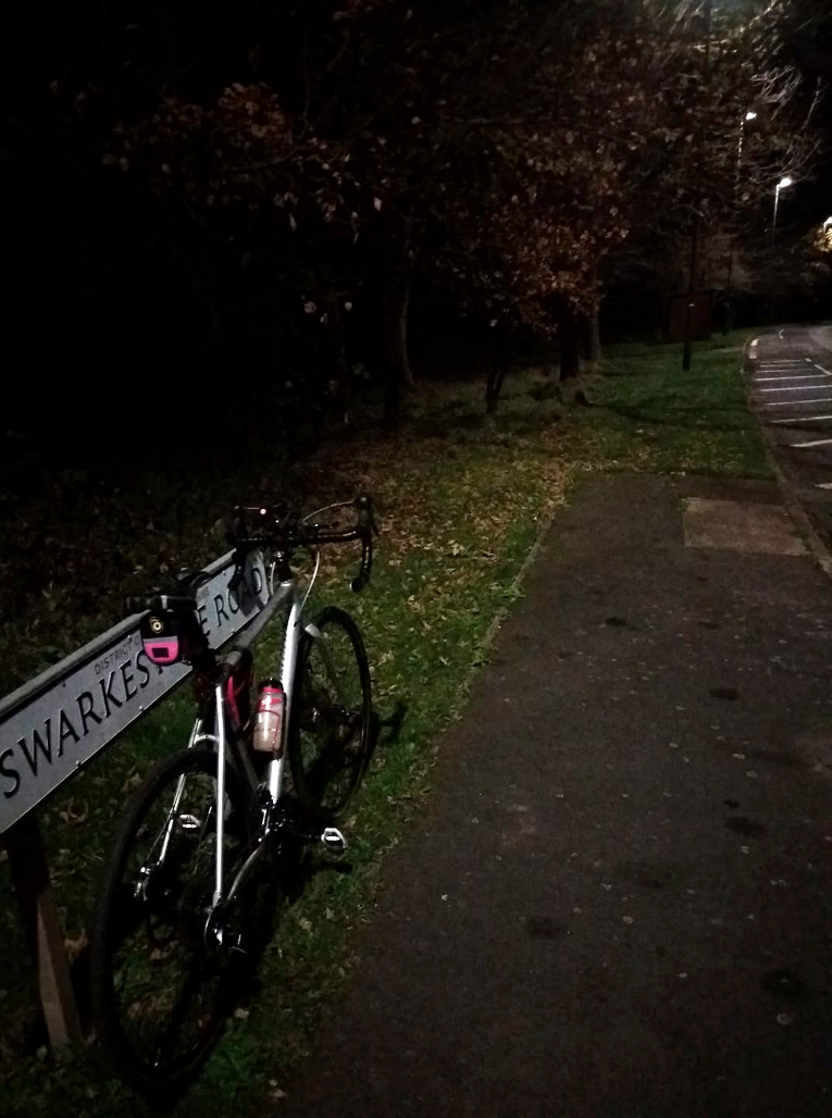
Swarkestone via Shardlow, Aston and Weston instead.
I actually
took the wrong left turn at the A50 roundabout briefly, and found myself
on course for joining the A50. Fortunately I was able to backtrack
safely the wrong way up the slip road. I’d only come down it a few
metres.
Got as far as a queue of traffic for a level crossing
east of Hilton – and decided that I’d come far enough, so I abandoned
the queue and turned back.
I wasn’t going to pedal all the way back to Donington, so I came back the quick way from Melbourne, despite having hoped to avoid the grind of a hill coming south out of there. I haven’t yet thought of a derogatory name for it, like Bastard Hill a few miles to the west of there. Maybe Scumbag Slope. Or Rotten Rise.
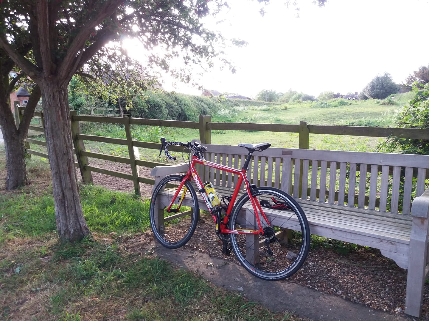
Back shortly after sunset, which today occurred at 15:58, on 51.63 miles.
I
had a cinnamon bun for breakfast and interestingly, I didn’t feel like
eating during the whole ride. I had to force myself to eat a cheese and
onion pasty after about 35 miles.
I started a new audiobook – Anthony Horowitz’s Forever And A Day, which is a James Bond ‘reboot’ set in 1950. In the first Fleming novel Casino Royale,
which I read many years ago, Bond briefly refers to his first two
kills, the second being a Nazi double agent whom he killed with a knife,
and which earns him his ’00’ status. In the first couple of chapters of
this one we accompany James on this mission, and it’s pretty
cold-blooded, brutal stuff. Something of a moral question mark as well –
as far as I can tell M sends him to do this as an execution for war
crimes, rather than for any useful practical purpose in the present day.
In Casino Royale I got the impression that this was supposed to have taken place during the war but here it takes place in 1950, just before James embarks on his first mission as 007. The excuse for this is that the final damning evidence takes a few years to come to light.
It’s really well done, I must say – the detail and the period atmosphere evoke the Fleming novels very nicely.
I
listened to the first few chapters of that then decided to put my DAB
radio on. Not sure what to listen to at that time of the afternoon,
really. 5 Live now has an obsession with race politics and I didn’t feel
a need to flagellate myself with white guilt, so I put 6 Music on.
Shaun Keaveny. A smug and amateurish broadcaster who imagines himself to
be considerably more amusing than he actually is, but I decided to put
up with his witless Northern monotone for the sake of the music. The
first record I heard him play referred to “male, white corporate
oppression” and ten minutes later he was playing a tune called B***K
(asterisks not mine, I’m happy to type “black”), all about how we
whiteys “fear the power” of black people.
Shaun reinforced this drivel with a brief and no doubt deeply-held personal message himself, once it had mercifully concluded.
I’m
so sick of it now. I can only assume there’s a cabal of ethnic minority
managers at the BBC with chips on their shoulders, no doubt propelled
there by positive discrimination rather than any conspicuous ability or
talent, intent on lecturing white people endlessly about their skin
colour crime. I ended up listening to Talk Sport.
Oh well! I’m not going to pay another licence fee penny in this lifetime.
Anyway
– 491 done this month now. I think I’ll probably do one more ride this
month, on Sunday. After that I’ll only have about 330 miles to do in
December to hit my target of 10,000km.
https://www.strava.com/activities/4393735188