A Cold Wind

A sunny afternoon but I had to stay at work longer than I wanted, due to a meeting. I rolled the Tricross out of the garage at about 16:55. I hadn’t been out on it for a few weeks. Had to be back home by about 18:30 ideally, so it was a short one. A ‘Truncated Twycrosser’, the version that cuts across to Congerstone as a short cut just before Twycross.

Tuned in to the Prime Ministerial press conference at 5pm, and heard the announcement that bars, restaurants, gyms, cafes, etc are all going to be forced to close. I confess to feeling a sort of anxious, low frequency dread in these uncertain times. As much for the potential damage to society and people’s lives in the wider sense, as the threat to everyone’s health.

As I turned eastward at Little Twycross, I was confronted by a cold, pitiless wind that seemed to moderate only slightly when I steered northward from Congerstone, in the fading light. Beautifully, poetically morbid conditions. Perfect for my mood.

You might think that getting out of the house on a bike would be a welcome diversion at the moment, but the relative stillness at rush hour was actually a bit disquieting. As I passed the Queen’s Head at Heather in the early evening gloom, I glanced through the window to see a couple of middle-aged men nursing their pints at one of the tables. They looked a bit glum, or possibly a little bewildered. I assume they’d heard the news. But they won’t be in there tomorrow night.

I either miscalculated the time, or wasn’t concentrating properly. I was back a while after sunset. I did have a rear light on, but not even a little silicone strappy blinker at the front.

I only encountered one human being, not counting a couple of passing cars. A young woman walking two dogs near Little Twycross. I’m pleased to report that I maintained a distance of at least three metres. I’m quite sure we exchanged nothing more harmful than a smile.

Seems a bit frivolous at the moment to be counting miles pedalled on a circular route then adding them to a spreadsheet, but hey ho. 18.95, 317 this month.

https://www.strava.com/activities/3201417072

Twycross Bypasser

Lovely sunny day. I left work early, at about 15:20 and decided the conditions were sufficiently spring-like to warrant this year’s first run out on the X.

A bit windy and colder than I expected, unfortunately. I wanted to do at least 25, to get the 2020 mile count into four figures. I did a ‘Twycross Bypasser’ that curves round Twycross to the west, via Orton.

For the first time in months, I went along Mythe Lane at the south-west end of the route. I’ve been avoiding it on the grounds that it would most likely be flooded, but today it wasn’t. There was a bit of standing water around here and there, but it was easily avoided. Rolled over a few shallow wet patches. Nothing to worry about.

The headwind was mildly aggressive for the first half of the ride but I enjoyed it overall. Back on 34.79 miles. Nice to come up through the villages north of Bosworth, hadn’t done that for a while.

I listened to the PM’s press conference on a DAB while I was out. Really surreal times. And out of interest, I’d already been paying particular attention to my proximity to other people. I went within maybe 1.5 metres of joggers once or twice, and passed someone on the pavement at Market Bosworth. I reckon that transferring a viral infection to someone in the open air like that would be extremely unlikely, and therefore even if fully “self isolating” rather than maintaining “social distancing”, I should be OK to get out of the house on a bike once in a while, provided I don’t visit shops or pubs.

But the French government is apparently threatening “punishments” for those who engage in “non-essential movement”, and who’s to say that won’t happen here, in a few weeks? If it does, even an hour on my bike without going anywhere near another person would be impossible.

But at least I’ve got a turbo trainer!

Anyway. Today’s outing takes me to 1010 miles in 2020, 298 this month.

https://www.strava.com/activities/3189187440

Rutland

Glanced at the weather forecast on Thursday night and was pleased to see that only a light wind was expected for Friday. Not only that but it was due to change direction at about 4pm, so that I could have a light tailwind both ways, at least some of the time.

I decided to take Friday off and have a run out eastward. I haven’t been over that way for a while, mainly because of westerly winds. It’s not a lot of fun fighting a headwind to come home. I decided to tick Rutland off the neighbouring counties list.

Unfortunately the forecast had changed by Friday morning, so that the wind was due to change direction at about 6pm. I needed to be back by 6. But the expected wind velocity was light enough that I didn’t think a headwind on the way back would be too bothersome.

I set off at about 10:20. I couldn’t set off much before then as I had to hang around in the house to get some BSP gig tickets, available from 10:00.

I wrapped up decently warm but was a bit too cold for the first hour or so. Later in the day with the sun out I was a bit too warm. So I probably got the clothing balance about right.

The most recent Rutland route takes the usual route over toward Lincolnshire until Six Hills, when it plunges south-east through Asfordby, Kirby Bellars, Great Dalby and Little Dalby. This was the first time I’d turned along the B676 at Cotes without having ro roll through water running across the road, although the fields around there are still waterlogged.

I stopped at a little shop in Asfordby to get a few supplies, including a four-pack of AA batteries. The pair of AAs in my DAB had conked out about 15 minutes earlier. Annoyingly I went through the first pair in about an hour and five minutes and the second pair lasted about the same time. Supposedly Panasonics, and bearing the legend “Power your day!” on the packaging. Not really. I’d expect a pair of the cheapest Tesco AAs to last at least five or six hours in that particular DAB. Quite annoying as they cost me £2.58 for the pack of four. I have to wonder if they were counterfeit. I could get a pack of 12 Duracell alkaline AAs for £5.99 from Amazon, and a pair of those gives me about nine hours of 5 Live.

Normally I would take spare batteries with me but I’d put a fresh alkaline pair in just before setting off, which would normally last over nine hours. I can only guess they were part-depleted. I do leave half-empty ones lying around my mancave sometimes. Clearly I need to sharpen my battery management skills.

I’d forgotten that the road down to Rutland from Six Hills was so hilly. A bit galling to be descending a series of long inclines, knowing that I’d have to push back up them. But it wasn’t too bad. Quite nice to do that run again. One thing it does have in its favour is that it’s extremely quiet, or at least it was yesterday.

Got to the Rutland sign by about 2pm. I penetrated Rutland for half a mile or so then turned back the way I came. Not long after reaching Zouch on the way back I could see clouds in the distance, spilling rain onto the Leicestershire landscape. I got caught in it about an hour from home, for about 25 minutes. Thoroughly unpleasant, prickly cold rain.

Anyway .. just Lincolnshire left to do now, this year. But I’d quite like to add a new non-neighbouring county to the list – Gloucestershire, maybe?

An enjoyable run out, but probably not the best use of a day’s holiday really. I should probably have kept it for a long, sunny day when I could set off earlier and come home later than was possible this time.

71.32 miles, 263 done this month.

https://www.strava.com/activities/3180689800

Twycross

No rain forecast for this afternoon. I had to work until 6pm, but I started early and took an extended lunch break. Decided to do a Twycrosser. I took the Boardman since I’d wrestled a near rear tyre onto it on Sunday, and wanted to run it in and test it. Not too cold. Very windy though.

A quintessential game of two halves, this one – for most of the first half I had to struggle against a powerful headwind, and despite the forecast, it rained on and off. But for the second half the sun came out and I had the wind behind me. Big relief to turn away from the oncoming wind at Sheepy Magna.

I took the picturesque route between Congerstone and Barton, and came home through Ibstock.

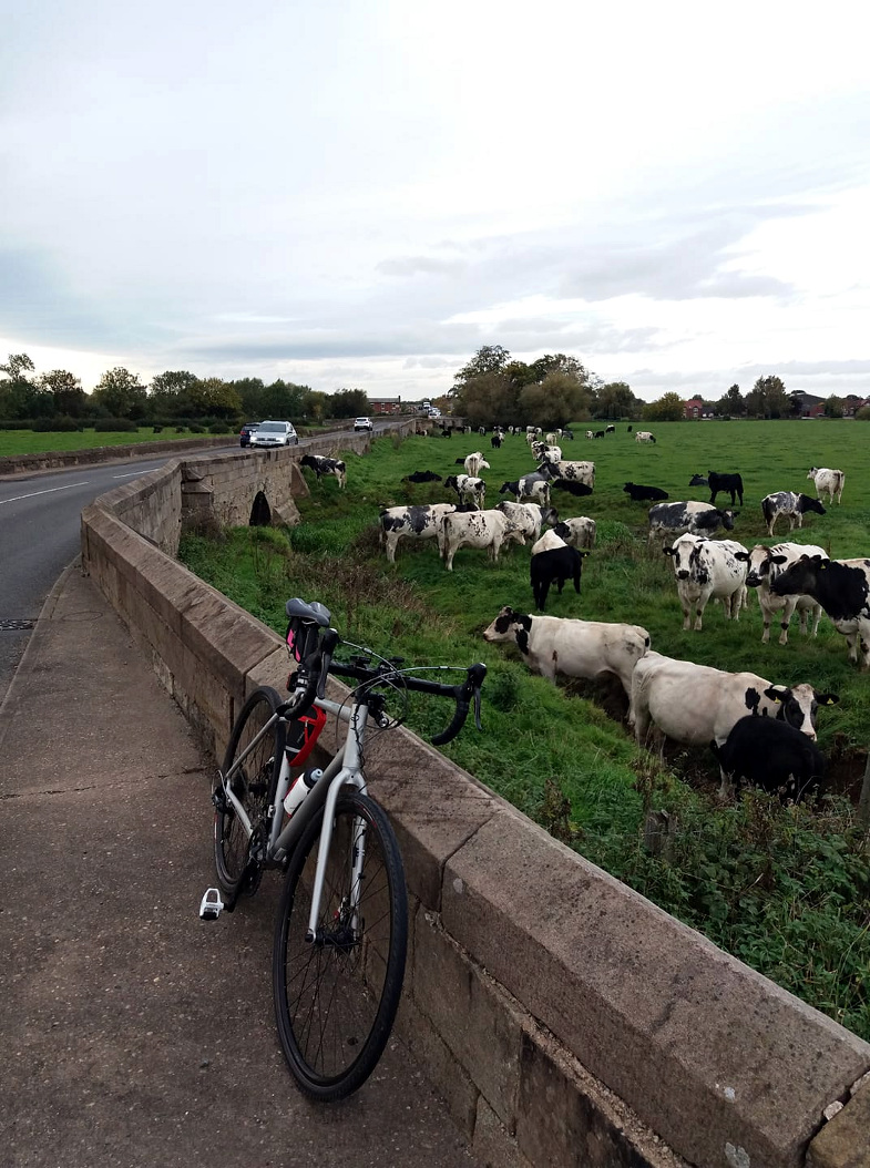
Interestingly, I saw another helicopter parked in the same spot in a field near Measham where I saw one a few weeks ago. I’d assumed that was an impromptu stop but I guess the landowner must rent it out as a sort of helipad. I stopped to take a pic. Definitely a different helicopter this time.

Slightly embarrassingly, just as I turned back to the bike having taken the pic, I noticed that a car had pulled up and two men in grey suits had just got; one in his mid 50s, the other in his late 30s, with a sort of physically imposing, military look about him. A close protection operative?

They smiled politely, and were climbing over the stile as I mounted the bike and rode off.

It passed overhead a few minutes later. Just Googled the registration G-EMHE and it looks like it belongs to East Midlands Helicopters:

G-EMHE has arrived!

Posted by East Midlands Helicopters on Friday, October 16, 2015

Home on 26.07 miles. Only the third ride in March, mainly due to weather. But I’m happy to have done 192 this month, and 904 this year. This time last year, I’d done 464.

https://www.strava.com/activities/3174877317

Stoked

The weather has been mostly dismal this month, and up to yesterday I’d only had a chance to get out on a bike once in March. But the weather forecast was promising for Saturday. I checked it carefully on Friday – no rain was forecast for the whole day, with a moderate wind blowing from the south. That would normally suggest a run out down south of course, but unusually, I bothered to check the weather to the south, and it turned out that it was due to rain a bit further down. By Friday night the weather boffins had decided that it would rain round these parts as well, but interestingly no rain was forecast west of Chez Moi. So I decided a trip out west was in order.

I thought it might be fun to repeat part of the old Wales route, as far as Stone – I hadn’t been much further than 20 miles along that route since I did Wales and back in 2017. Stone is 42 miles from here. If I got up early enough, I’d go a bit further.

I did get up early enough, and had mounted the Boardman by 07:30. It was cold. I’d wrapped up warm with overshoes and two pairs of gloves, but I was not comfortable. Still – as I always say, I don’t choose to do these things because they’re easy.

I like this route. Large stretches of it are pleasantly flat and the scenery is pleasant. There’s a stretch of dual carriageway in an industrial landscape at Rugeley, but even that is quite pleasant in its own way. It’s not usually busy.

I stopped at the same shop at a village called Sandon where I’d stopped on the Wales trip in May 2017. I chatted to the lady behind the counter, who – it turned out – had just bought it. She wanted to know how many miles I’d done. She was impressed that I’d done 38 miles and even more so when I told her that I’d have to do at least another 38 to get home. For non-cyclists the thought of doing more than 10 miles or so on a bike can seem like an achievement, but it’s easier than it sounds.

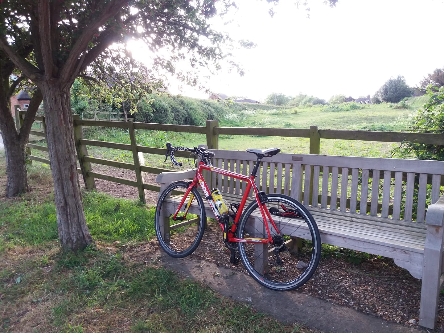
I refuelled at the bench outside her shop, then pressed on another three or four miles, to Stone. My intention was to continue on along the Wales route for another 7 or 8 miles, then turn back so that I’d clock up 100 on returning home. I’d managed to reach Stone without recourse to Google Maps thus far, but I took a wrong turn out of the town, along the A520. I realised I’d done this fairly quickly but wasn’t really bothered – 7 or 8 miles in any direction would do, and I was exploring a bit of new territory. This started to feel like a bit of a mistake before long, though – the A520 north of Stone is quite an interesting, twisty road that snakes through woods, reminiscent of the Lake District – but the road surface was wretched; rough and crumbly – and it was quite hilly as well. After a mile or so I decided I’d find a landmark to turn back from, but fortunately the road emerged into flatter, open territory and improved quite a bit. I pressed on and a few miles later, found myself on the outskirts of Stoke on Trent!

I still hadn’t clocked up the requisite 50 miles, so I kept on keepin’ on. But as I penetrated Stoke, I found myself descending a series of steep-ish inclines. I’d already given myself a bit of a climb to come back and didn’t fancy making it worse, so I turned at a roundabout on 48 miles.

Back at Stone, I took a wrong turn again – this time because I was in the wrong lane at a roundabout. But since I had to add a few miles anyway I thought I’d see where it went, for a bit. I stopped at a Travelodge, then consulted Google Maps for the first time. I’d been entertaining the idea of a detour via Stafford Bingley Hall on the way back but the road I was on didn’t seem too promising so I turned back to the main route.

A few miles later, south of Sandon, I noticed a regular bump-bump-bump – almost as if I was riding over a road with little speed bumps. This seemed odd, as the road surface looked fine. I disregarded it and didn’t notice it again until a few miles later. I stopped, and examined both wheels. The rear tyre had a slight, but noticeable bulge – it actually looked slightly twisted. I’d inflated both tyres to 100psi before setting off, and clearly the rear one didn’t like it. To be fair I knew it was on its way out anyway – it was starting to look a bit worn out, and if I’d been a bit more diligent I would have checked it properly a day or two before attempting a long ride, and changed it.

I let a bit of air out, and that seemed to help a bit. I was still about 35 miles from home. The clockwork ‘bump’ from the rear was only noticeable on smoother surfaces. I decided to take the quickest route home without a Stafford detour, take it easy (or even easier) and it got me home OK, although I could have done without the added anxiety, of course. I’ll be changing both front and rear on the Boardman, possibly later today. They’ve both had a remarkable innings.

I took a wrong turn coming home after Croxall. Realised what I’d done when I found myself going along a picturesque road into Walton Wood, which I’d never seen before. Really nice along there, will try to include it in a future ride. So I came home through Coton and Measham instead of Clifton and Appleby.  Probably a nicer route anyway and I’d guess that I’d preferred the Clifton / Appleby alternative due to the elevation numbers.

I’d didn’t rain all day, either on my ride or at home. The temperature climbed nicely during the day, and I had to take one layer of gloves off. I was actually a bit too warm by 2pm. Generally a bright day, the wind wasn’t troublesome, the roads were mostly dry and the sun came out a few times as well – including over the last 20 minutes of the ride, just before sunset. The wind picked up over the last mile, which was nice as it helped to blow me home.

My knees were a little sore by the end of the ride but nothing drastic and they feel OK this morning. Very happy to have done a 100 miler again; it’s been nearly two years. I am going to attempt Wales and Back again in a few weeks if weather and circumstances permit. Probably on the Cannondale. And I’m faintly hopeful that I might just manage that 200 miles up to Hartlepool. We’ll see.

100.54 miles, 166 this month.

https://www.strava.com/activities/3163203391

Tamworth and Lichfield (Somehow)

I was on call yesterday, but with no rain in the forecast I hoped to do a Fondo. In the past while on call I’ve done these by contriving a sort of orbital route that doesn’t stray too far from home, but this time I decided to take my chances. After all, I’ve been called out on a Saturday very few times over the years, and and statistically the odds of getting caught out are quite low.

With an immoderate wind blowing toward the east, I decided to head west to get the headwind over in the first part of the ride. I plotted a route that would take me over that way via the usual route – I call it the “Wales” route although I usually only do the first 30 or so miles then come back – but I also planned a detour via Austrey, so that I could take in the ski slope descent from the crossroads near there that I’d seen a few times on the Orton detour of the Twycrosser.

I set off 10:20, a bit later than I intended but with more than enough daylight left. I took the Tricross, since my route would take me over some rough road surfaces near and over the Staffordshire border. I must admit I felt slightly self-conscious wearing a camo hijab as I greeted my neighbour who was washing his car at the time. But it looked a lot less conspicuous once I had a helmet on over it.

The descent down the ski slope road from the crossroads was a lot of fun. But the road from there through Austrey to No Man’s Heath was really nice – odd that I’ve cycled more than 20,000 miles round these parts this last few years without taking in a nice road that’s not much more than ten miles from home. I guess it shows that humans are creatures of habit, or perhaps it’s just me.

I continued on from No Man’s Heath through Clifton Campville as I normally would. But about 17 or 18 miles into the ride, I realised I’d taken a wrong turn. I kept going for a bit regardless enjoying the new scenery, but stopped at a bench to consult Google Maps and find my way back to the planned route out west. But the backlight on my phone appeared to be broken – it was extremely dim, to the point of being unusable.

Oh well! I kept going anyway, until I found myself in Tamworth. Here I saw a road sign to Alrewas, which was on the route I’d intended to take, so – I took the required sharp right, and ploughed on along the A513. About a mile later though, I came across a road to the left marked ‘Coton Lane’. This looked a lot quieter and generally more suitable for cycling than the A road I was on, so I took it, in the hope, or expectation that it would lead to Coton in the Elms, another familiar place. It didn’t. But I decided to stick with it in the hope that I’d find a useful road sign. I was really enjoying myself at this point, I must say. I’d already been rained on a couple of times, but I was exploring new roads and I had a proper adventure on my hands. I was enjoying some really lovely scenery as well; my only regret was that I couldn’t operate my phone to take some pics.

I didn’t find a useful road sign. Eventually I found myself in the nether regions of Lichfield, having done 29 miles – so I decided to turn back, and try to follow the same way home. But after another half hour I was lost again. I was heading right into Tamworth city centre, and I hadn’t been that way on the outbound part. I blundered on, trying to find my way by intuition until I found myself crossing the same picturesque bridge over the Tame that I’d been over about half an hour, and five miles earlier. I was going round in circles. Or at least, I’d done one unnecessary circle. So when the roundabout up ahead loomed into view again, this time I went straight over, instead of turning right – which is what I should have done the previous time. I found myself back at the A513 again a few minutes later so I continued north on it, back on the road to Alrewas.

I’d done more than 40 miles by this time and I’d convinced myself that I wasn’t going to be home on much less than 75 – Alrewas was still a considerable distance away, and an even more considerable distance from home – but after a couple of miles, I came upon a right turn to Clifton Campville, only 4.5 miles away!  I was half tempted to keep going to Alrewas, but my characteristic wisdom and good judgement got the better of my adventurous side and I turned for Clifton. I was on call, after all.

I must admit, the realisation that I was actually not that far from home did burst my bubble, a bit. If I’d gone directly home from there, I wouldn’t even have done 60 miles. So at the big roundabout over the M42 I kept straight on for Measham, then turned down to Swepstone. From there I looped round up through Packington and came back along Alton Hill. Home on 65.20 miles.

Stopped at a bench about 15 miles from home during an overcast moment and by squinting carefully, managed to operate the phone sufficiently well to organise a Facebook update and take a pic. Not a very interesting scene, and it would have been nice to have captured some views of the rivers I crossed, but at least I got one. And here it is.

Quite an unforgettable run out, really. I was too idle to set up the eTrex, and yet the fact that I got lost and ended up having to navigate by road signs due to an unserviceable phone made it a lot more fun. Perhaps there’s a lesson there; technology isn’t always the answer.

Very changeable weather – partly cloudy, partly sunny, a few rain showers and even torrential hail for a few minutes. Lovely and spring-like when the sun was out though. The roads were often very wet. Had to give Neil a thorough wipe down in the garage.

No particularly interesting wildlife. A couple of very large, dead Canada Geese by the side of the road near No Man’s Heath. Looked to me as though a predator had got them. I highly doubt they’d fought each other to the death and I don’t think they’d been hit by a car. Parts of the country are infested with them; can’t help thinking the solution is to hunt and eat them. There must be a lot of meat on those buggers.

Had a closer look at the phone when I got home and it turned out that the screen brightness was turned right down in the settings. How, I have no idea. Perhaps some secret hotkey function invoked by random accidental button presses.

Glad to have done a Fondo on the first of the month, again. In fact that single ride fulfilled three Strava challenges – the March Gran Fondo, the March Long Day and the Le Col 110km challenge.

I’ll definitely try to introduce elements of that ride into some new routes. More coherent ones than that one.

https://www.strava.com/activities/3145940337

Twycross Bypasser

The weather forecast changed a couple of times today but by mid afternoon it was threatening light rain for an hour or two. I had a feeling that it wouldn’t actually rain though, and I was right. I took the hybrid out at about 3:45pm.

I did a Twycross with the same detour via Orton as the last one. It’s an increasingly popular item in my repertoire; I shall know it henceforth as the Twycross Bypasser. This was a shorter version than I did last time though, without the deviation up to Packington over the first few miles. I came back through Heather rather than Ibstock, as well.

The right turn from the crossroads near Orton has a really long, steep descent down a quiet road and I was tempted to take it, for fun – but of course in cycling, what goes down must also come up, at least if you intend to finish where you started.
Wanted to do about 25 to hike the monthly mile tally over 350, and I did 25.58. That’s 712 this year, 357 this month. Happy to have done that as the weather for the rest of the month looks rough.

Cold, but sunny. Back just in time, well after sunset and I only had flashy blinkers on the bike – but there was still enough light to see the road in front of me when I pulled up at the garage door.

Lots of dead badgers around at the moment, sadly. Noticed another dead mouse in the garage. As always – quick.

https://www.strava.com/activities/3134538709

Twycross Bypass

I had no firm intention of cycling today, but after a rainy morning the afternoon brightened up considerably. So off I went. I decided to do a Twycrosser – there’s just something joyous about riding over that way with footy on 5 Live, and United were playing Watford in the commentary game.

The roads were rather wet though, so I took the hybrid again. I wanted to do about 30, which would take me through my monthly target, and also get me within an easy ride of hitting 350 for the month.

I actually bypassed Twycross completely by taking the larger detour through Norton and Orton. Really lovely along there in the sunshine, with views of Staffordshire for miles.

Just as I approached Sheepy an oncoming cyclist stopped me to warn me that if I intended to go straight over at the next T junction, the road ahead of me was flooded. He’d pedalled straight through it and got his cycling shoes wet. I had no intention of doing this in the first place – it’s not called Watery Lane for nothing and it’s muddy at the best of times – but I did go over to have a look.

Annoyingly I dropped my right glove seconds before taking that last pic; it landed in a shallow puddle and my hand was damp and cold for the rest of the ride. Apart from that though I was warm enough until the last 45 mins or so of the ride, when the temperature dropped markedly.

Windy again today, and I had to struggle against a strong headwind when heading westward. I did really enjoy myself though.

I used my old Forerunner 310 to track the ride, and annoyingly it switched itself off along Fenn Lanes. I’d already noticed that my phone battery was on 6% when I’d taken one of the pics, so using the phone to track the rest of the ride wasn’t an option. So I synthesised the missing part and uploaded to Strava in two chunks:

https://www.strava.com/activities/3126093742

https://www.strava.com/activities/3126258098

38.66 and that’s 687 this year, 331 this month.

Pondering

Was tempted to do 25 or so yesterday. No rain, very windy. I’ve been out in worse conditions certainly but I decided against it. Cycling is a bit like alcohol. Make sure you’re in charge of the bike, not the other way round. Keep it fun.

Instead I had a think about the logistics of doing a 100 miler, when conditions and circumstances allow. One approach might be to think what might be the 100 mile route from my garage door with the minimum possible elevation gain. Of course it would have to be a reasonably linear route, no cheating by doing multiple laps of convenient flat bits.

To this end I conducted an exercise with the Strava route planner. As some readers will be aware, it has a ‘minimum elevation’ function which purports to find the flattest route between two points. Now as it happens the routes it finds tend to be fairly rubbish, sometimes including sections of track that a reasonably sane off-road cyclist would think twice about.

However I conducted an exercise that I thought might be instructive nonetheless. What I did was this: I dropped the destination pin at 8 points on the route planner map, each roughly 50 miles from base – north, north-east, east, south-east .. and so on. I was interested to see which direction required the least climbing, and by how much.

The results are as follows (in feet):

N1694
NE554
E1567
SE1382
S1012
SW1311
W903
NW1111

Now of course the route wouldn’t have to be a straight line. Nothing wrong with a slightly L-shaped or jagged route. Furthermore elevation is not the only critical factor – the quality of road surfaces is quite important as well, for example. But it is a pretty important consideration. 

So I think the results are quite interesting. There’s a sort of corridor of flatness extending to the north-east from my house, roughly following the River Severn.

Might go out for a couple of hours later today.

Windy Twycross

The plan was to have another day off cycling today, and do 50 or 60 miles tomorrow. But the forecast changed to rain and 40mph winds for tomorrow, so since this afternoon was relatively dry, I left work early with thoughts of doing 25 or so. I took the hybrid.

Unsurprisingly, there’s a lot of standing water around, though it hasn’t rained today. I did a sort of sub-Twycross. I’d had enough of the strong sidewind by the time I got near Twycross. I’d literally been blown sideways onto the grass verge at one point. So I took a left at Little Twycross, after which it became a tailwind and I started to enjoy myself a bit. So I extended my ride by continuing across to Ibstock to hang onto the tailwind for a while, and came home that way. Back just after sunset.

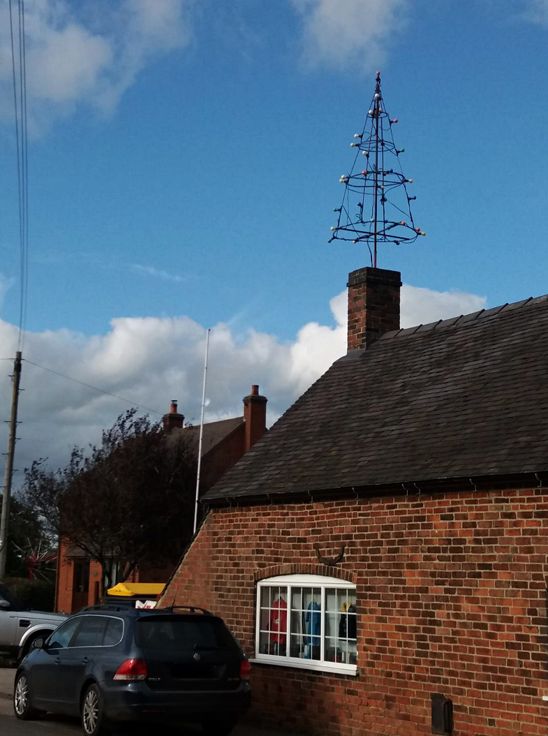
About a second after I took this pic at the “unmanned unodourised gas station” just outside Twycross, a gust of wind blew a glove from where I’d perched it on the bike, through the gate. So I had to defy the “no unauthorised persons” sign and climb over to retrieve it.

21.81, which takes me to within 7 miles of this months “adjusted” target, which is 299. But I hope I can do another 60 or so at least. The weather forecast looks hostile, however.

https://www.strava.com/activities/3119659029